Plan Your Trip
We advise our visitors to be cautious using GPS to navigate to DeSoto State Park or DeSoto Falls, as directions can be VERY unreliable. Those traveling in large vehicles, RVs, or bringing campers and trailers should use the written driving directions below.
Written driving directions to DeSoto State Park & DeSoto Falls
For campers and larger vehicles.
- Campers and larger vehicles should use Exits 218 or 222 and utilize AL Hwy 35 if coming from I-59.
- Larger vehicles need to avoid Tutweiler Gap (off of Hwy 117), Wades Gap (Co. Rd. 604), and Beasons Gap (off of Co. Rd. 89).
- Trailers or RVs should also avoid County Road 613 (the road to DeSoto Falls).
- We advise campers and larger vehicles to use Exits 218 or 222 and utilize AL Hwy 35 if coming from I-59.
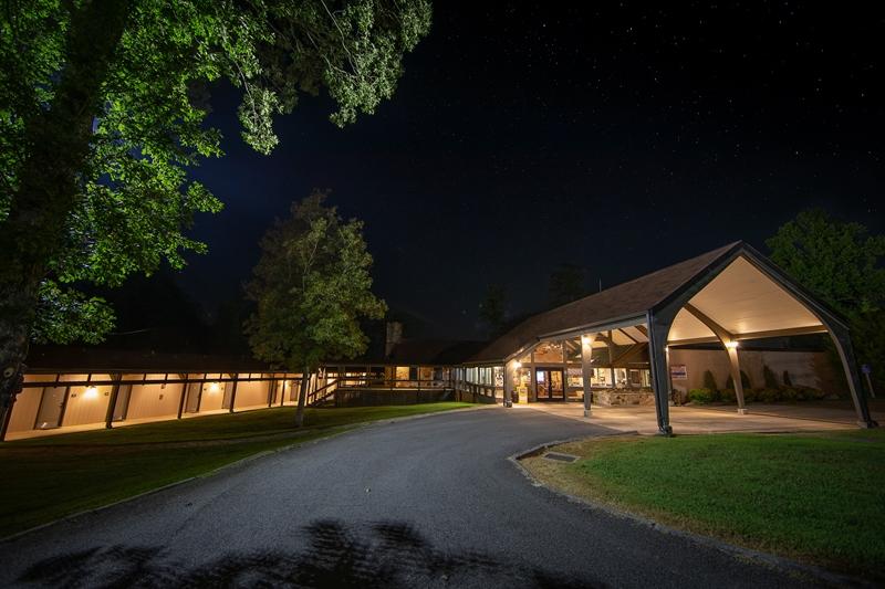
There are three entrances to DeSoto State Park: North, South, and the Contact Station.
Park Hours (CST):
Lodge Front Desk: 24/7 Year-Round 256-845-5380
Country Store & Information Center Winter Hours: 9:00 AM- 4:00 PM (CST). Thursday-Monday. CLOSED Tues. and Wed. 256-845-5075
Park Trails/Picnic Areas are open dawn to dusk.
Check In:
For Lodging - Check in at DeSoto State Park Lodge.
For Camping - Check in at DeSoto's Country Store & Information Center.
After hours - Stop by DeSoto State Park's Lodge or call 256-845-0051 for assistance.
Park Fees:
DeSoto State Park's main area does not have a gate or an entrance fee.
DeSoto Falls is a small, separate area of DeSoto State Park located seven miles from the main park area. There is a $5.00 per vehicle fee to park at DeSoto Falls.
Visitors with Disabilities:
Most of our Park facilities, including our Lodge, restaurant, and Country Store & Information Center, are accessible to visitors with wheelchairs and scooters. Our Talmadge Butler Boardwalk Trail is a 360-yard trail that people of all abilities can enjoy.
Dining:
FREE Wi-Fi Hotspots :
Please note that cell phone coverage may be spotty throughout the park. Wi-Fi does not reach any cabins or chalets.
- Campground Comfort Stations (does not reach every site)
- Lodge Lobby
- Motel Rooms
- Mountain Inn Restaurant
- Park Office
- Country Store & Information Center
DeSoto State Park Printable Maps:
DeSoto State Park Color Trail Map(Page 1 PDF)
Desoto State Park color Trail Map (Page 2 PDF)
DeSoto State Park Basic Park Map including trails(PDF)
DeSoto Falls Picnic Area & Trailhead Map (PDF)
DSP Hike/Walk Suggestions (PDF)
DSP See & Do Brochure/Area Map (PDF)
Waterfalls
Distance from Major Cities:
Located atop Lookout Mountain, visitors can enjoy the tourist attractions of Fort Payne, Mentone, and nearby Sand Mountain. We are two hours from Atlanta, Huntsville, and Birmingham, and one hour from Gadsden, Alabama, and Chattanooga.
Nearest Airports:
CHATTANOOGA, TN, US (CHA) 50 mi / 80 km NE
HUNTSVILLE INTL, AL , US (HSV) 62 mi / 100 km W
BIRMINGHAM, AL , US (BHM) 85 mi / 137 km SW
ATLANTA, GA, US (ATL) 93 mi / 150 km SE
NASHVILLE, TN, US (BNA) 128 mi / 206 km NW
KNOXVILLE, TN, US (TYS) 136 mi / 219 km NE
COLUMBUS, GA, US (CSG) 140 mi / 225 km S