Directions
Directions from Highway 75 in Geraldine
From Highway 75 follow Highway 227 North. At the intersection of Highway 227 and County Road 400, go straight to County Road 402. At the intersection of County Road 402 and County Road 50, go straight to County Road 20. In Approximately 2 miles the main park entrance will be located on the left.
Directions from Section
Follow County Road 43 to Macedonia to the four-way stop. Turn right onto County Road 38. In approximately 1/8 of a mile, turn left onto County Road 44. Follow County Road 44 for 6 miles and then take a left onto County Road 152. County Road 152 will end at the north entrance of the park.
Directions from Lake Guntersville State Park
Follow Highway 227 South from Lake Guntersville State Park. At the divided highway take a right to continue on Highway 227 for approximately 6 miles. Take a left onto County Road 402. At the intersection of County Road 402 and County Road 50, take a left. In approximately 2 miles the main park entrance will be located on the left.
Please note: In the event the bridge on County Road 173 from Jackson County is closed due to flooding, you may still access the campground and trails via the Dekalb County entrance on County Road 173, located on the opposite side of the park.
For further instruction, please contact us.
Park office: (256) 622-8400
Park Address: 393 County Road 174, Groveoak, AL 35975
Park email: bucks.pocket@dcnr.alabama.gov
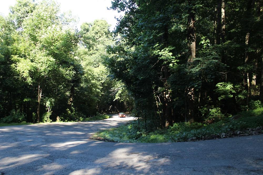
County Road 173, which leads into the campground, features a steep grade. When approaching from Dekalb County, the roadway includes an 'S' curve or switchback.

