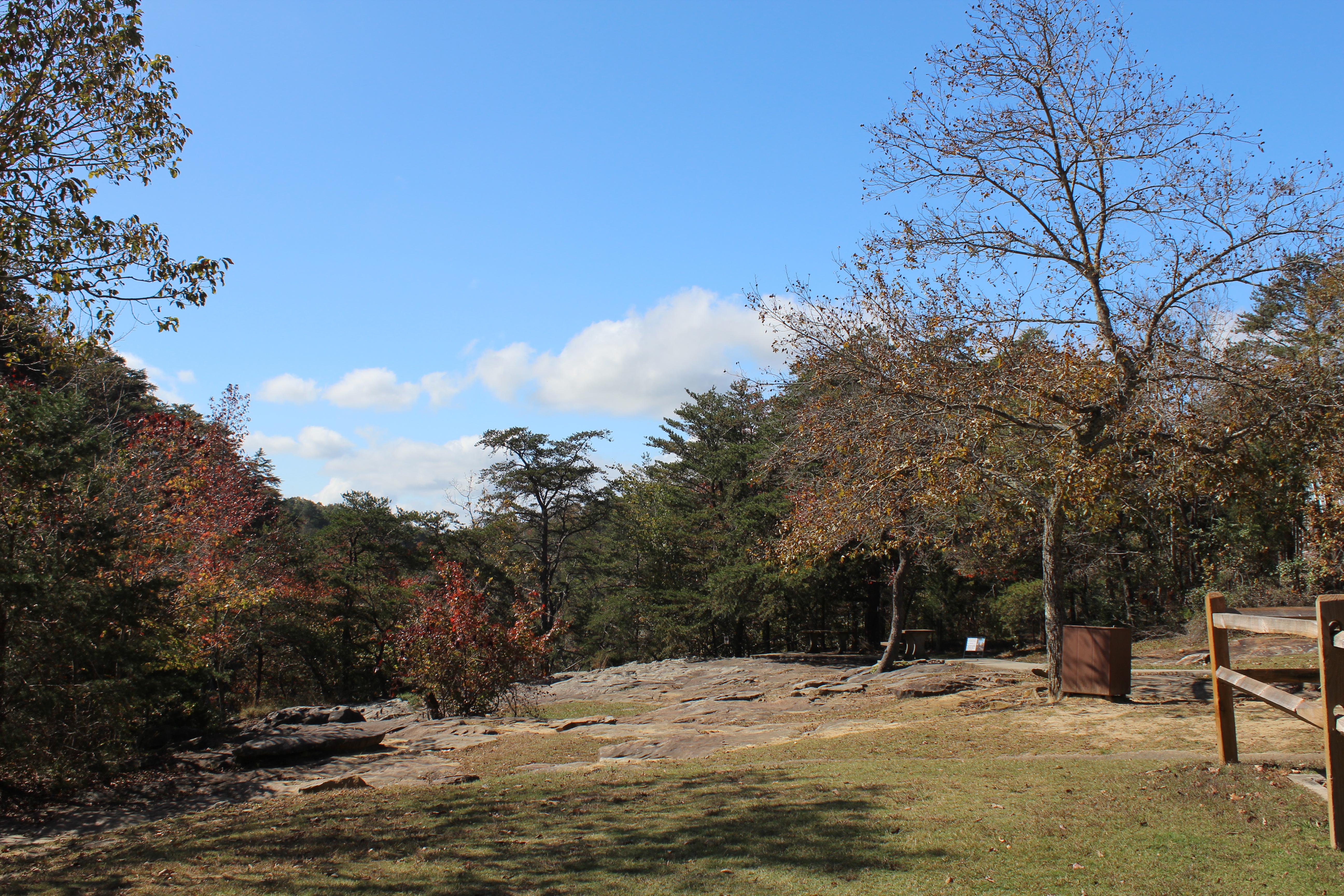
DeSoto Falls Picnic Area
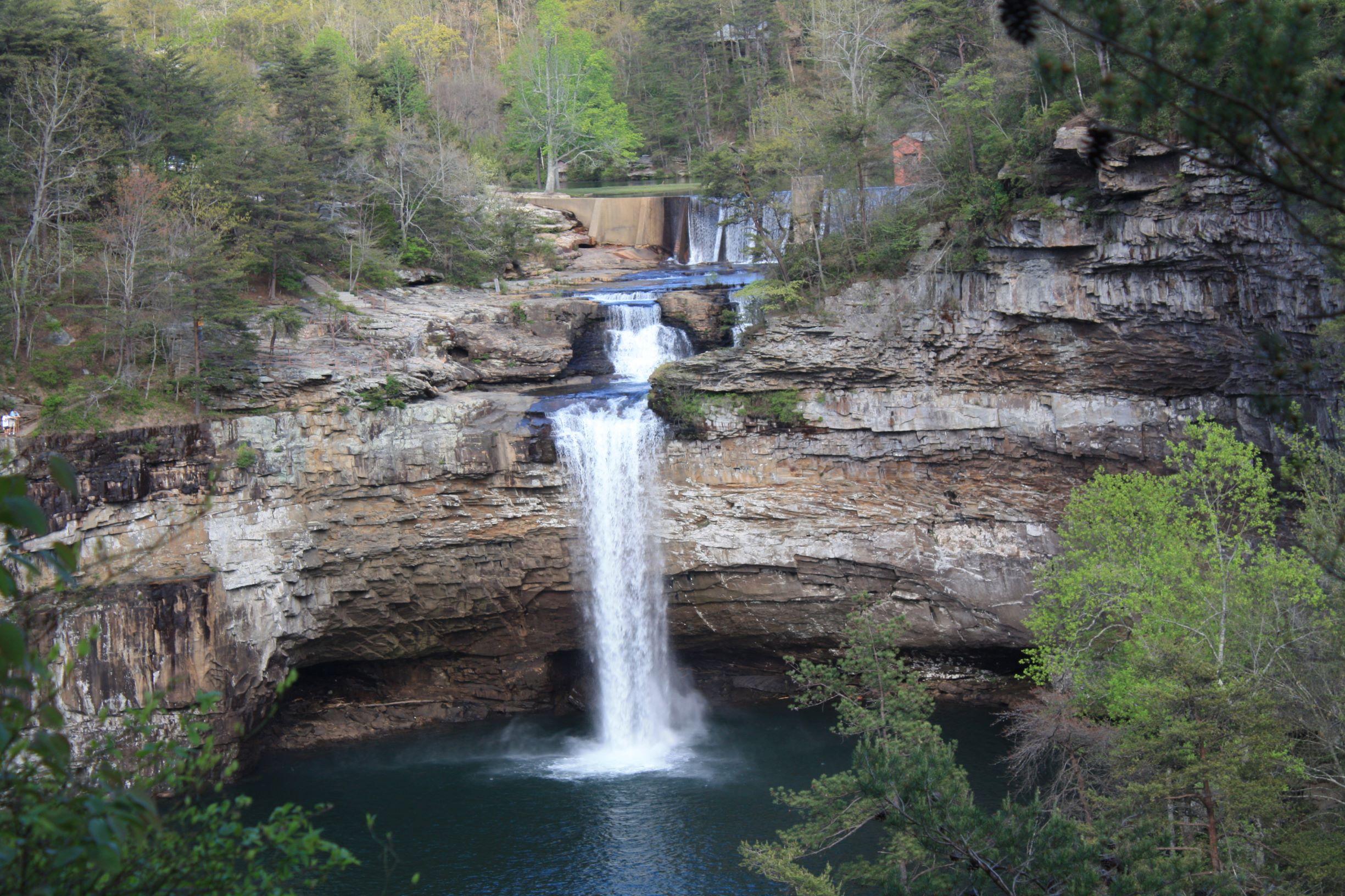
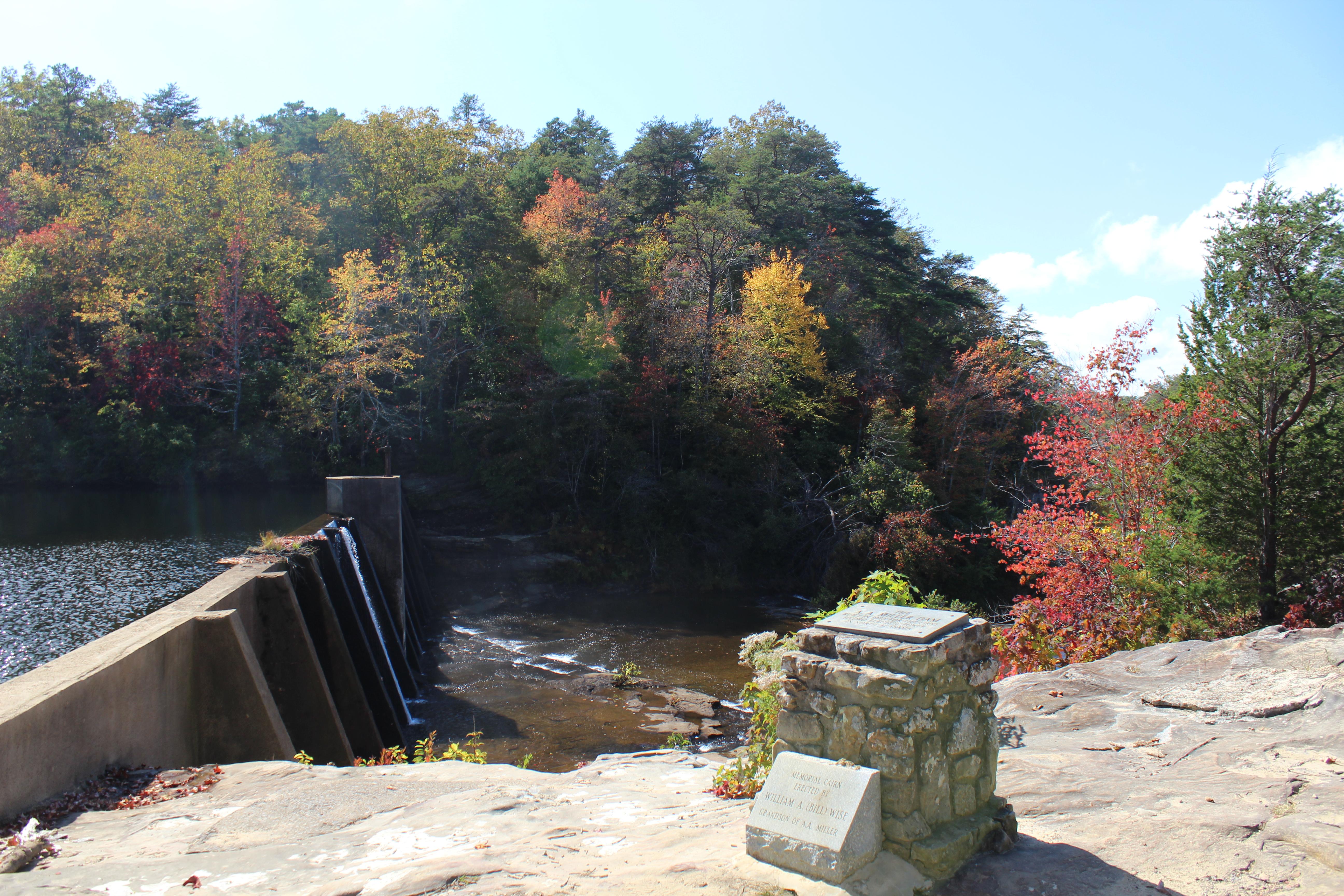
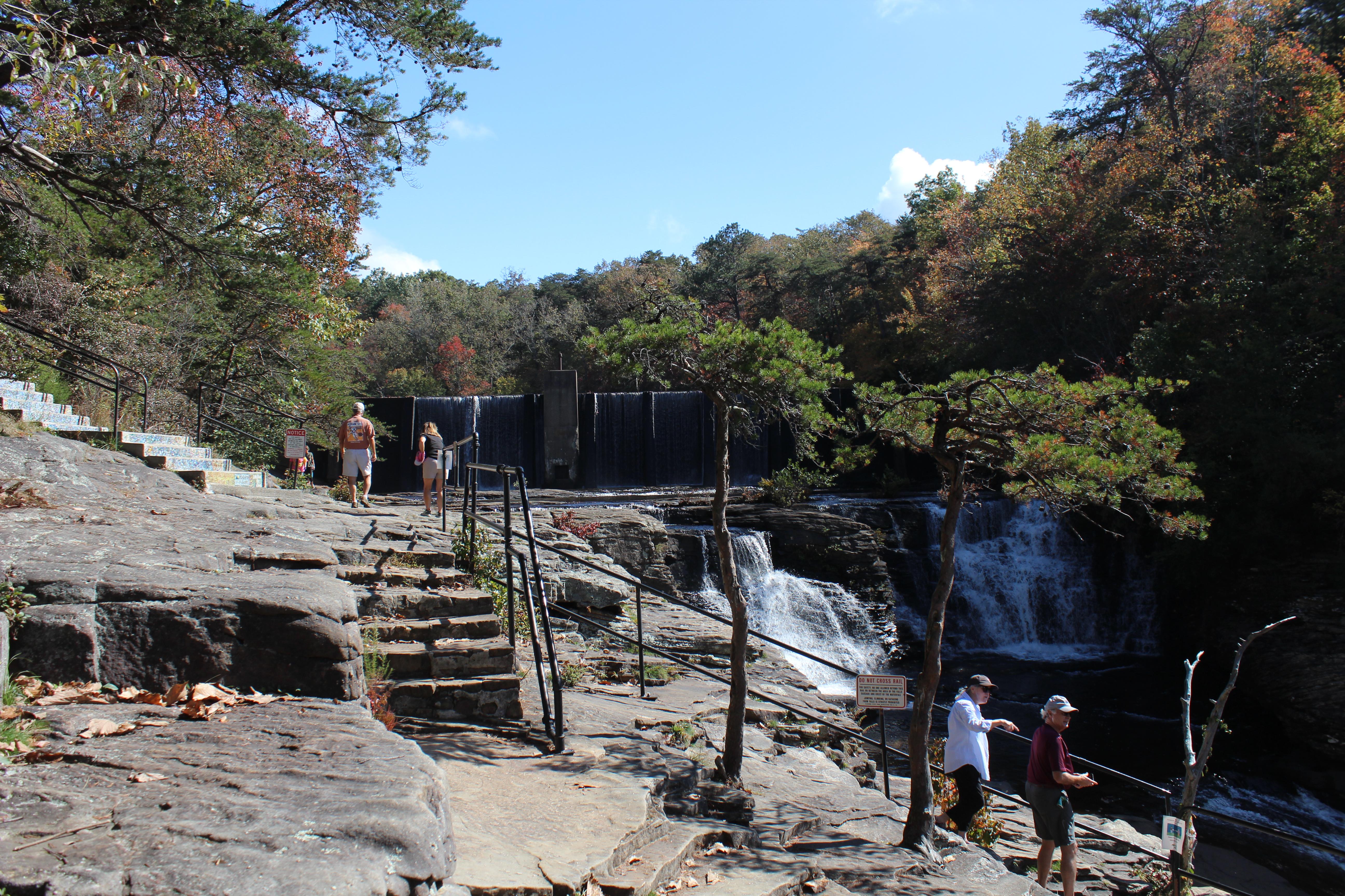
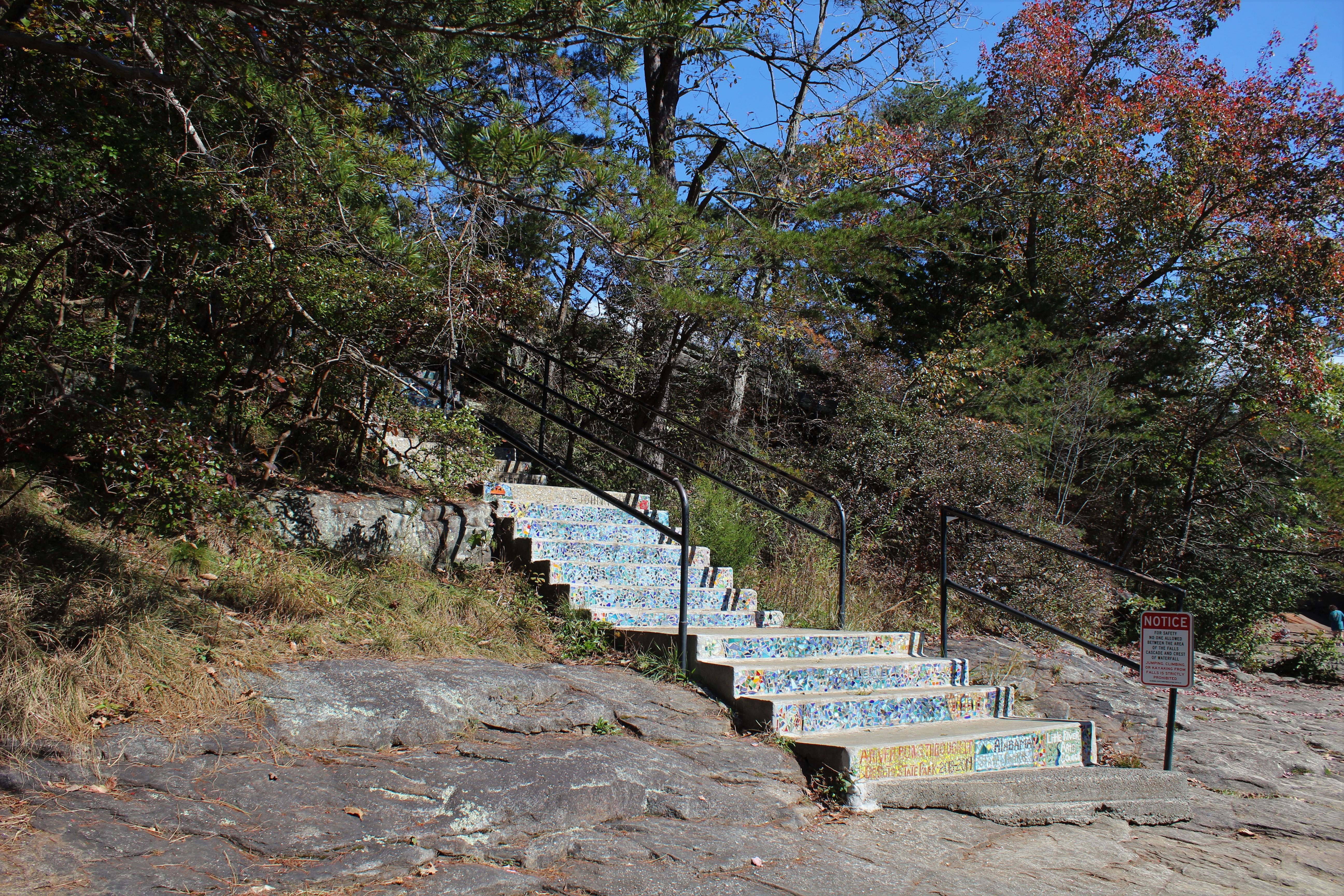
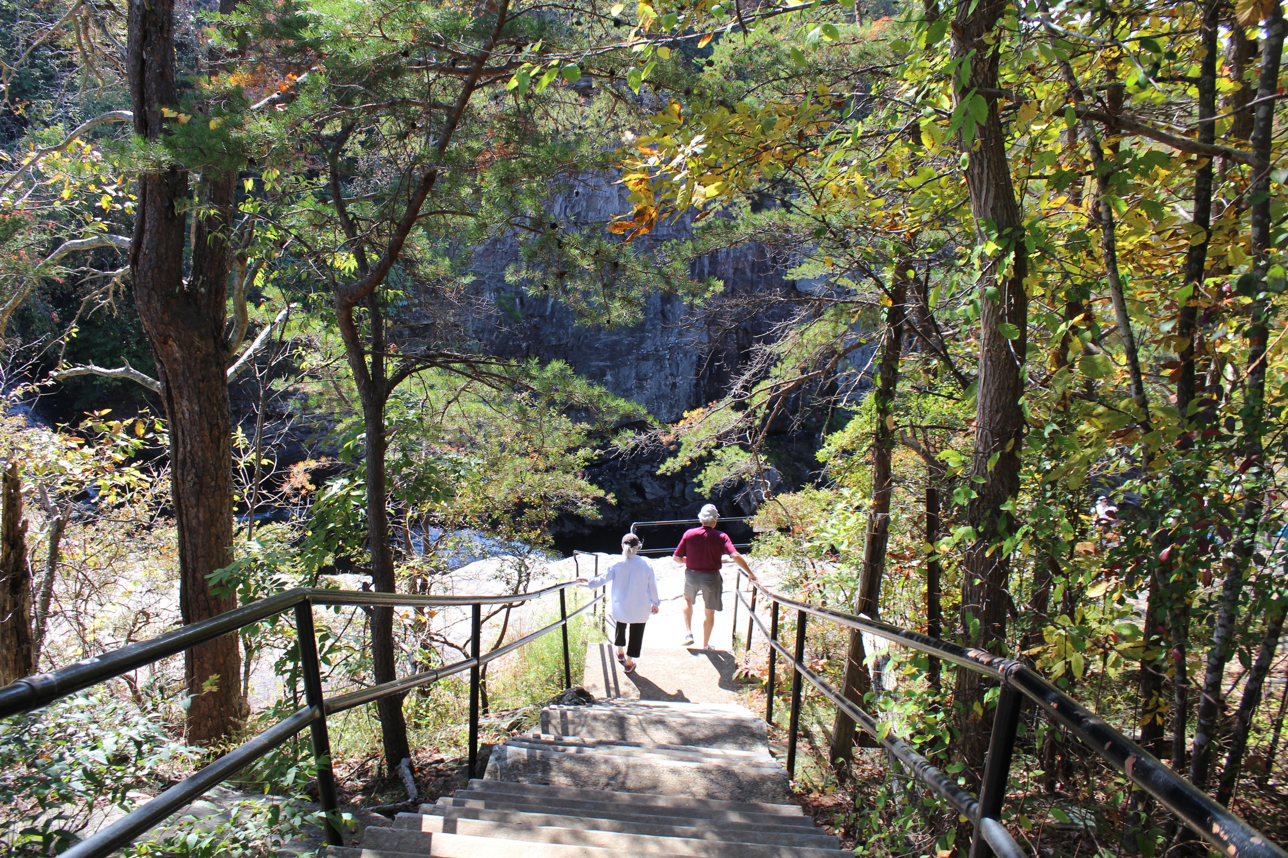
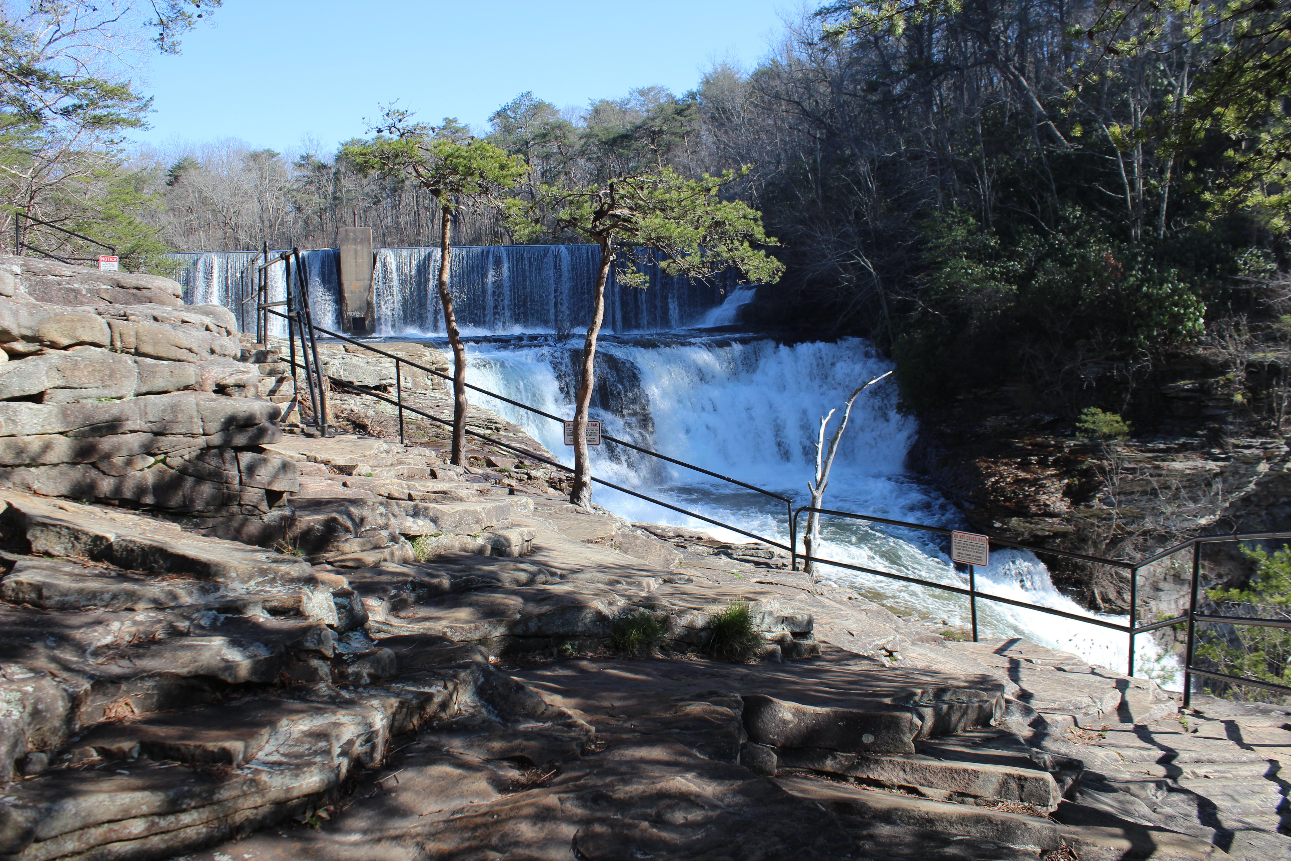
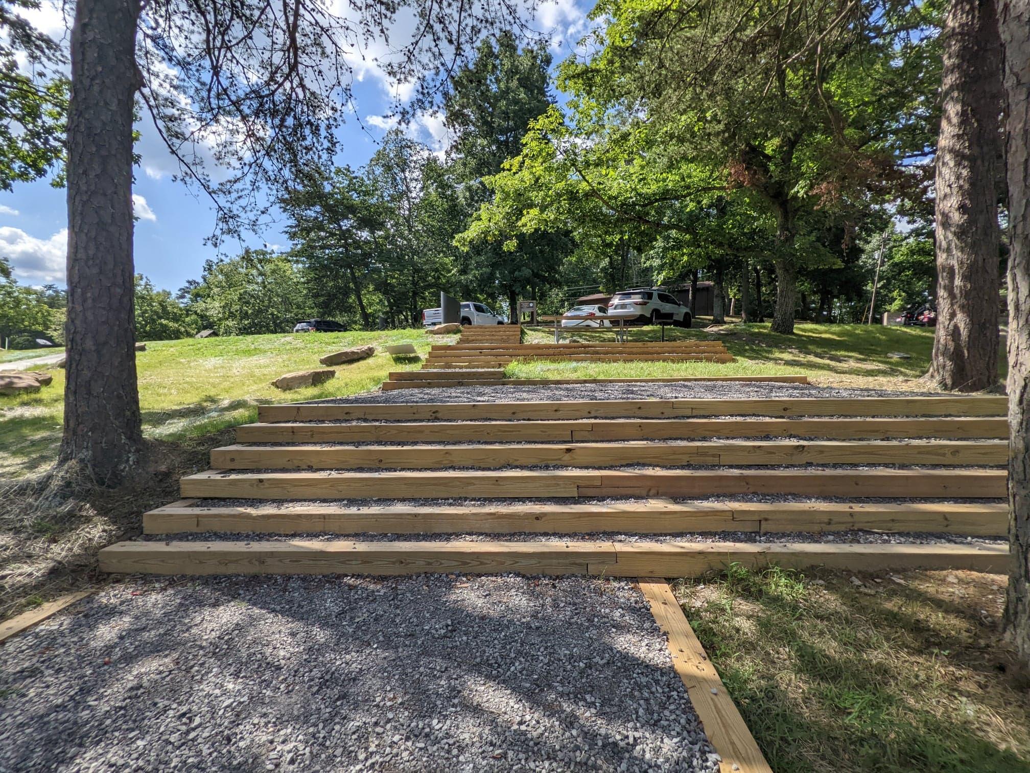
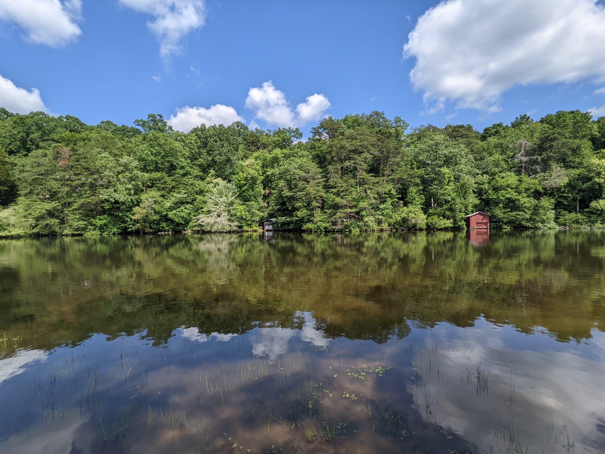
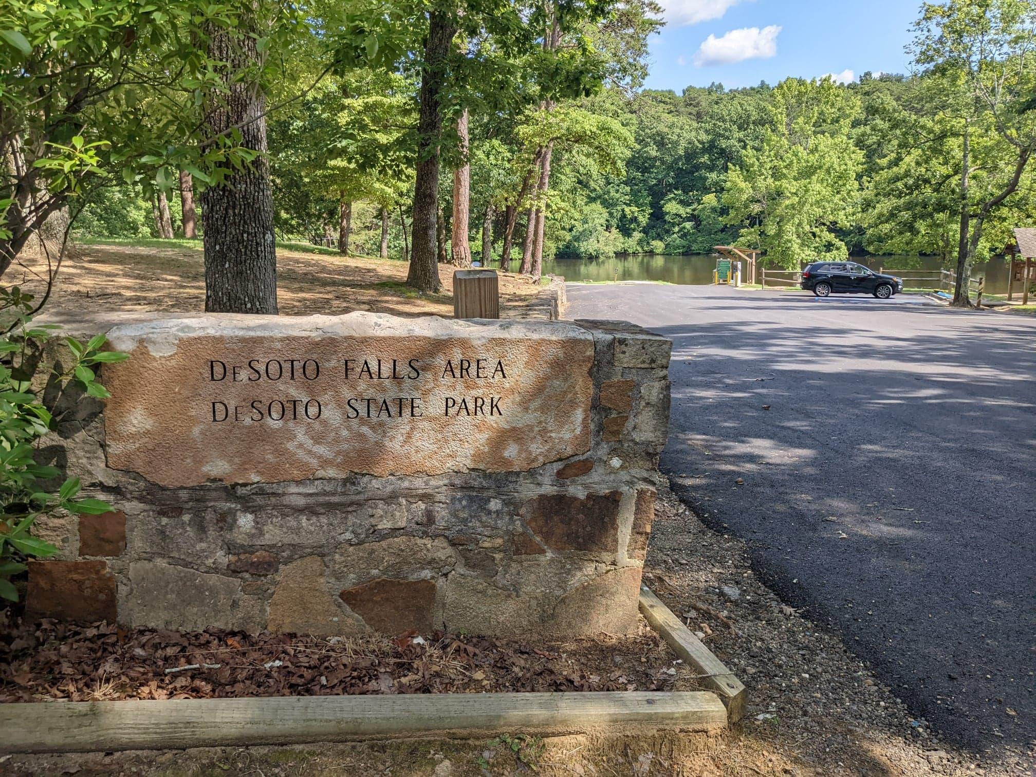
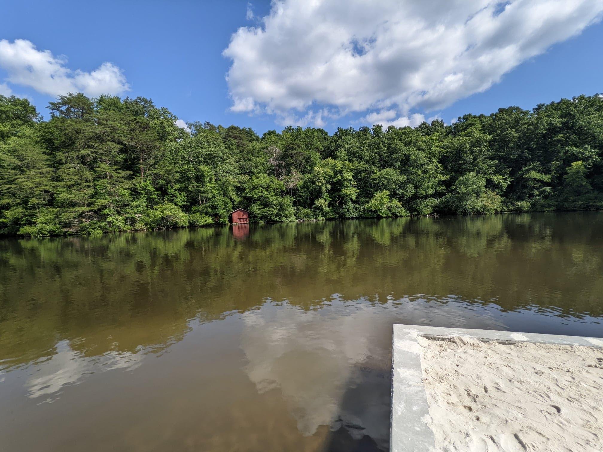
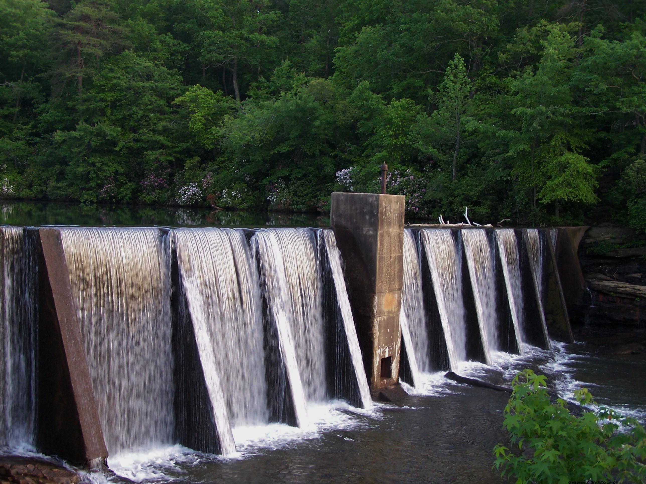
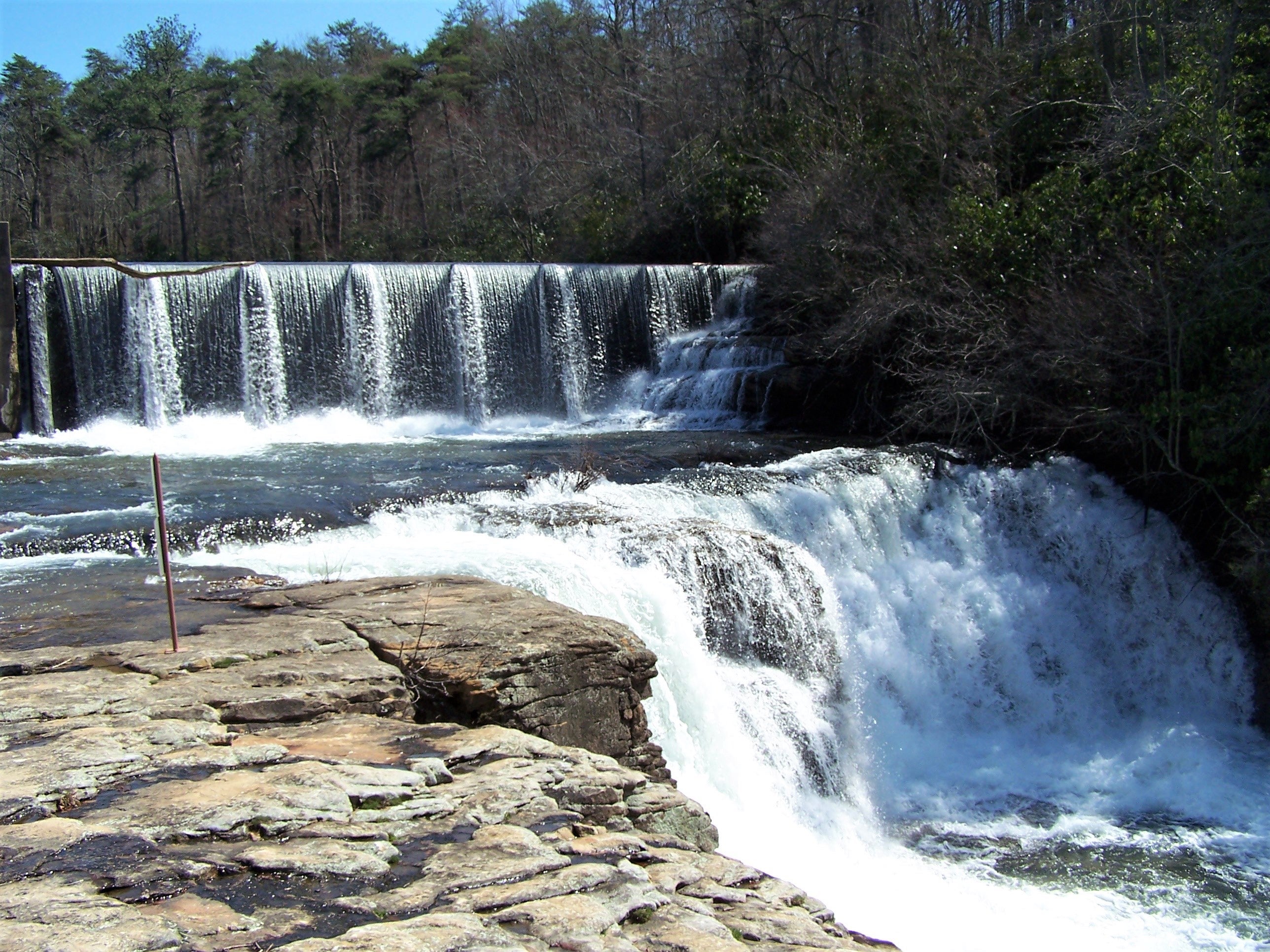
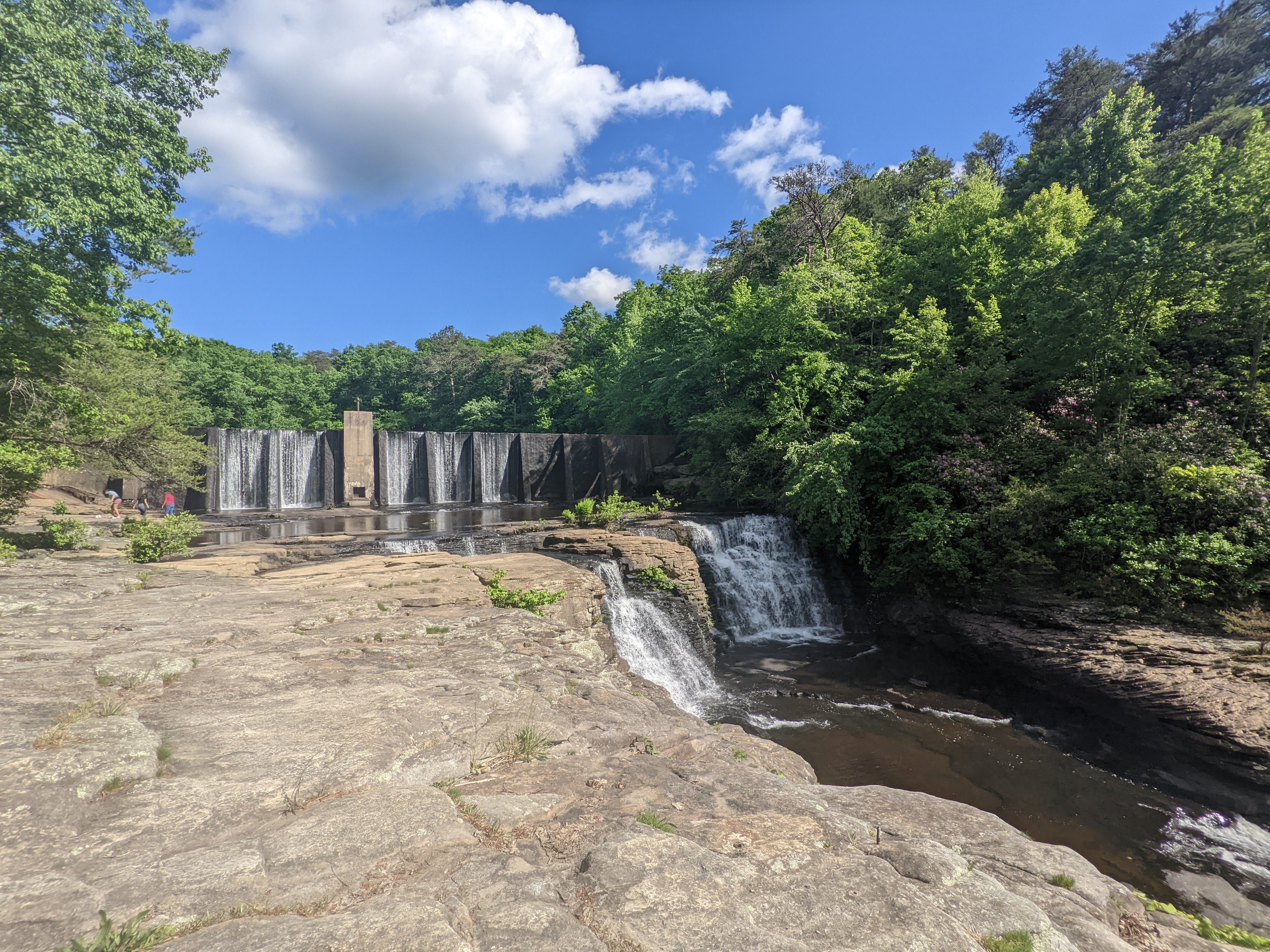
DeSoto Falls Picnic Area is part of DeSoto State Park and is seven miles from the main park area. Near Mentone, DeSoto Falls is one of Alabama's tallest and most visited waterfalls, and is named for the Spanish explorer Hernando De Soto. Located just off Lookout Mountain Parkway, the historic A. A. Miller Dam and the upper falls are open to visitors of all abilities. The lower or main waterfall requires a walk down 50 concrete stairs to the overlook. The amount of water flowing over the falls depends on the rainfall. The water level is high in the winter and early spring. During the summer and fall, it is much lower and sometimes dry.
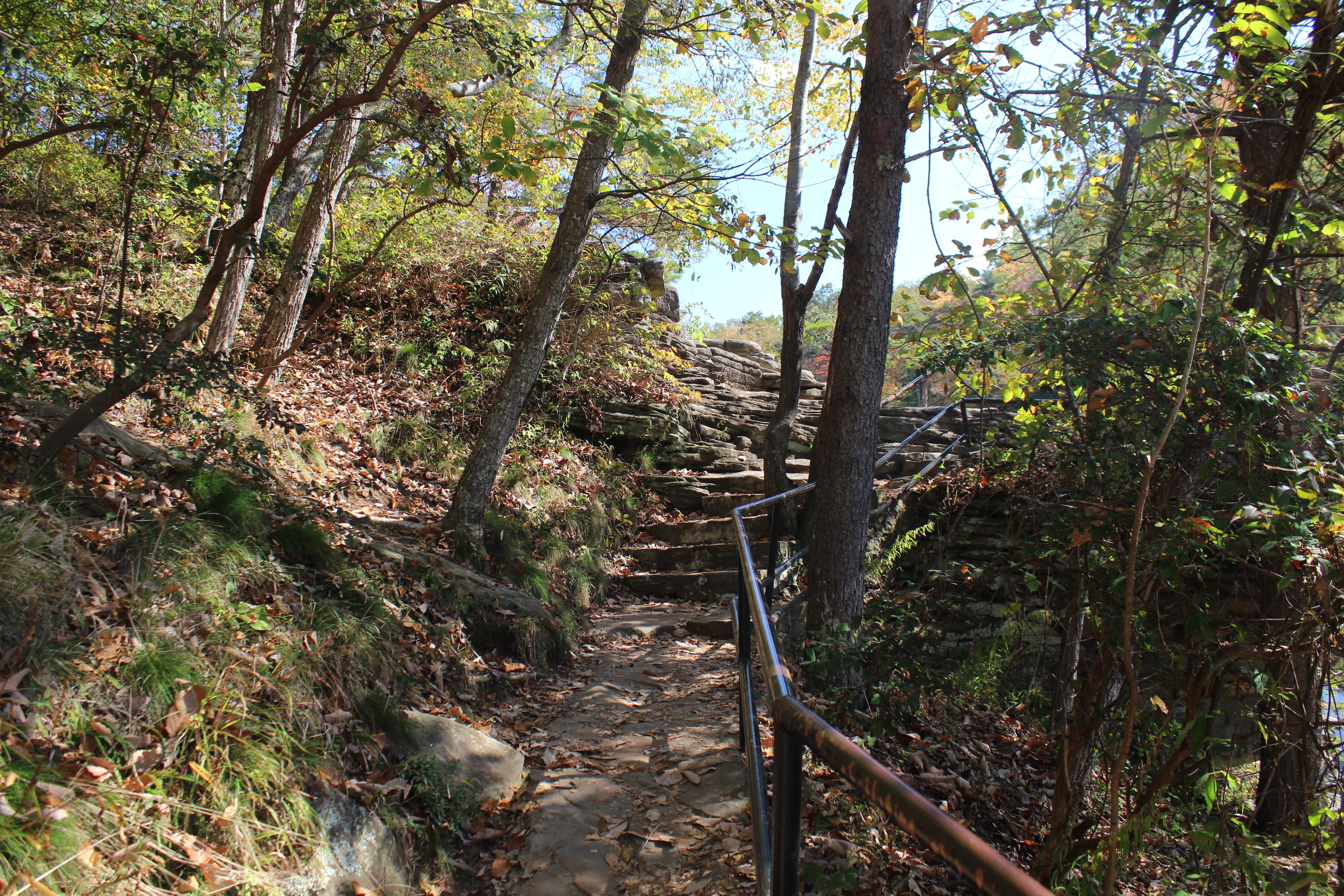
The only access to DeSoto Falls viewpoints are from DeSoto Falls Picnic Area (side view, easiest), Overlook trail (from trailhead to front view, moderate), & River trail (from trailhead to basin view, moderate to strenuous)
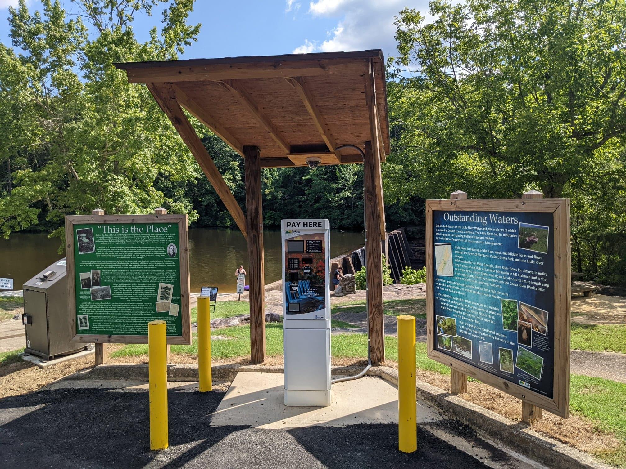
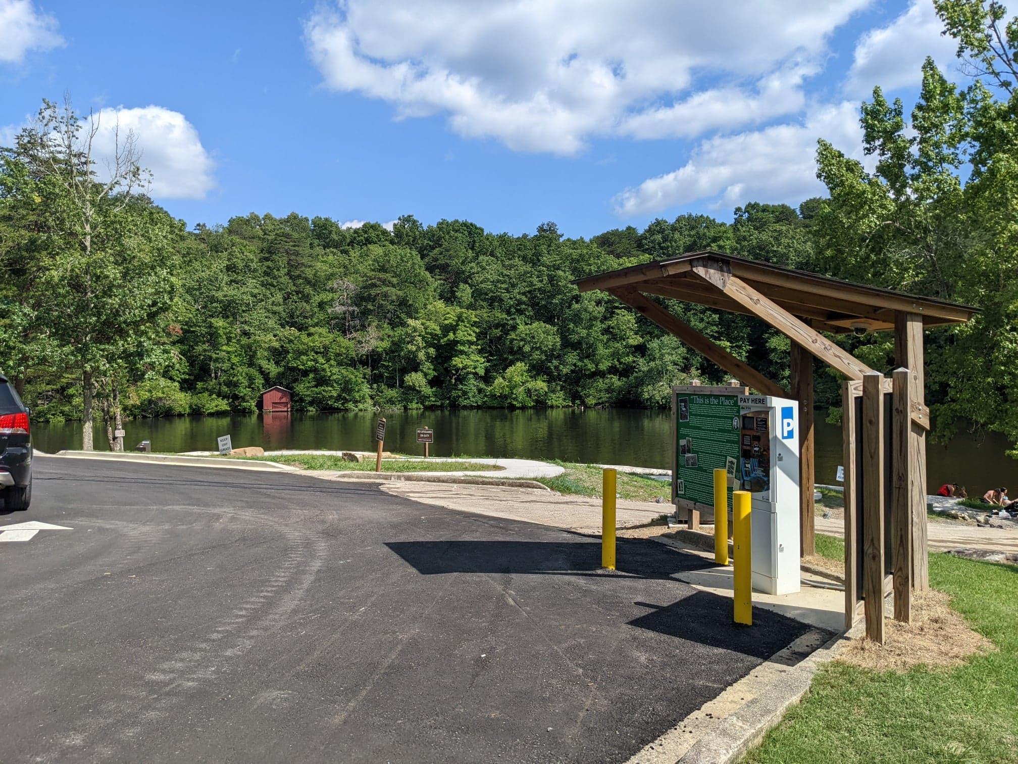
- $5.00 Per Vehicle Parking Fee.
- The DeSoto Falls Picnic Area is open daily during daylight hours and closes at dusk.
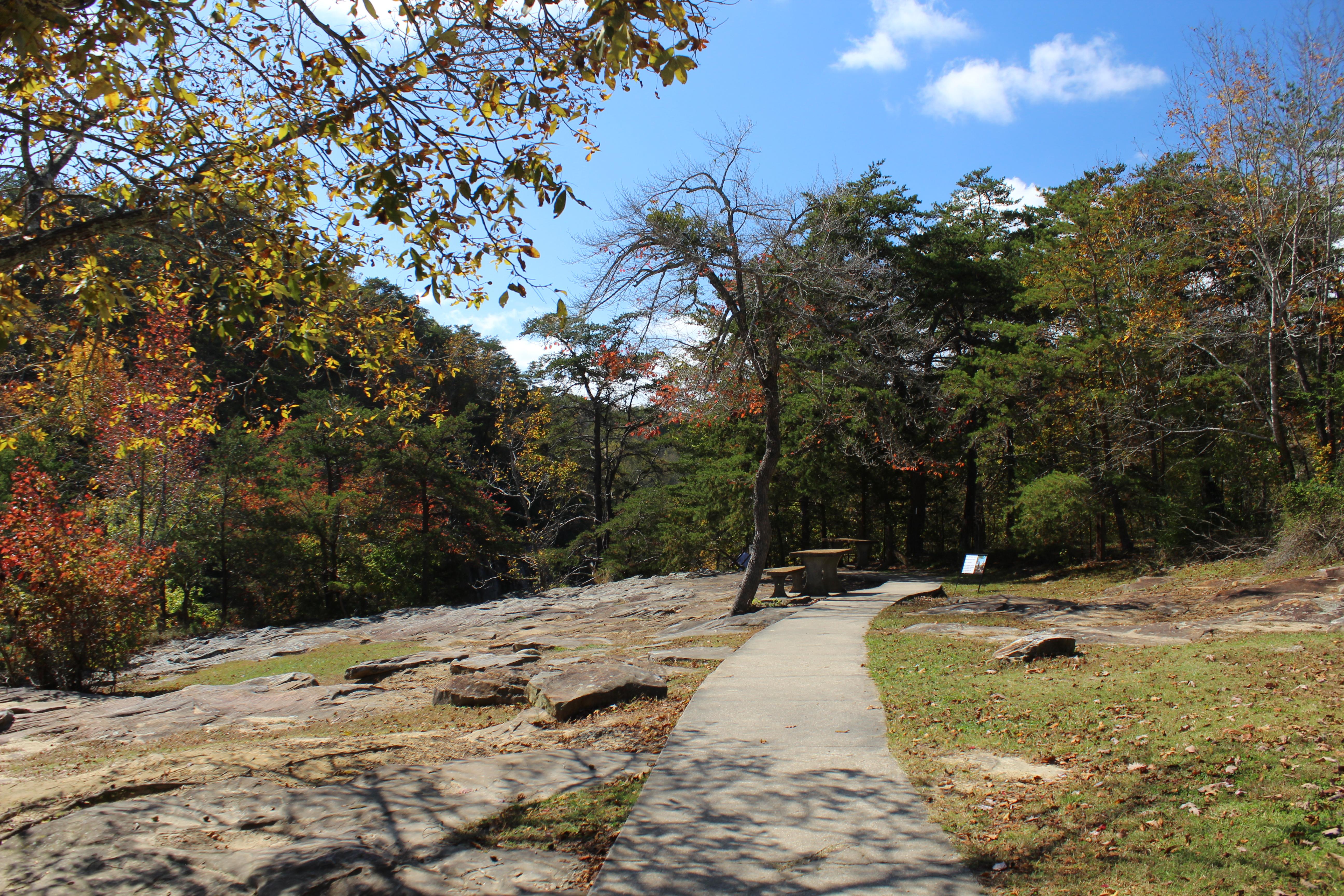
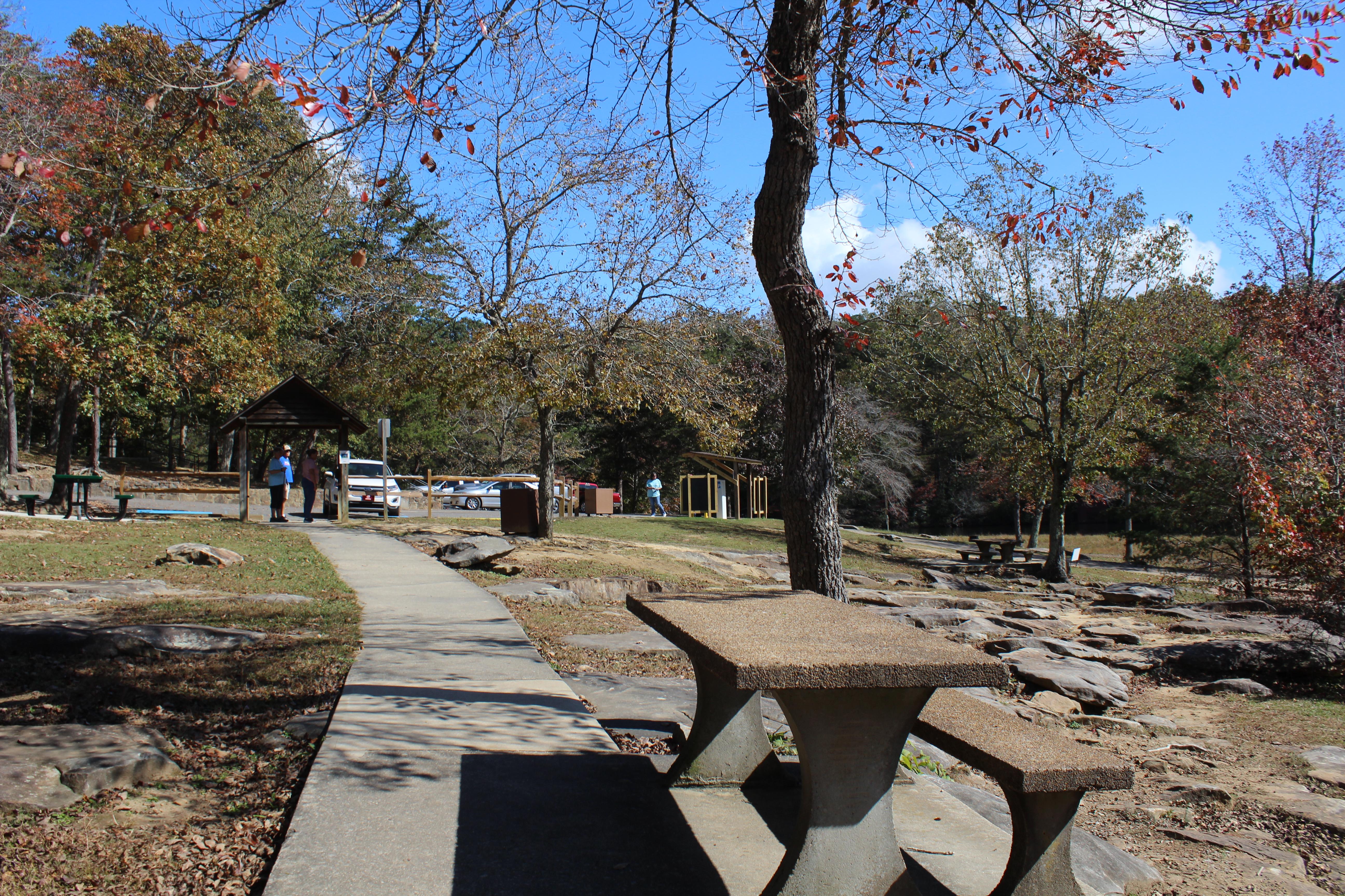
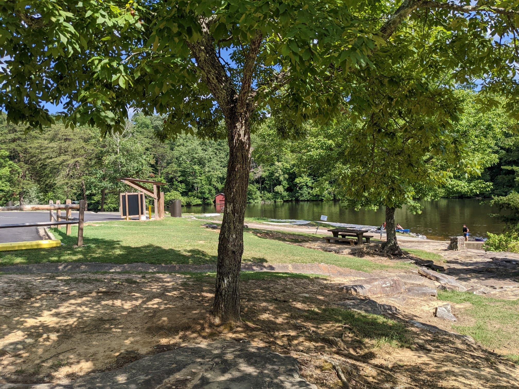
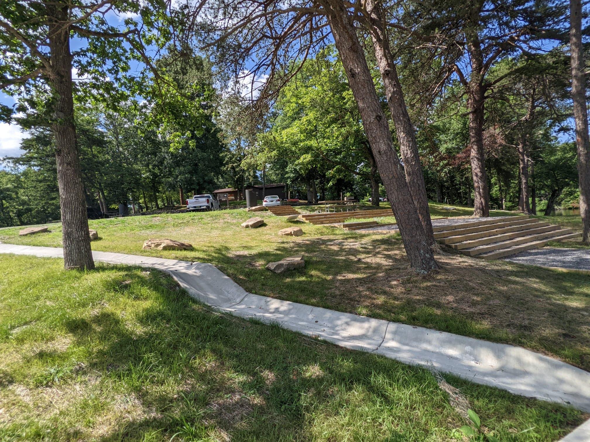
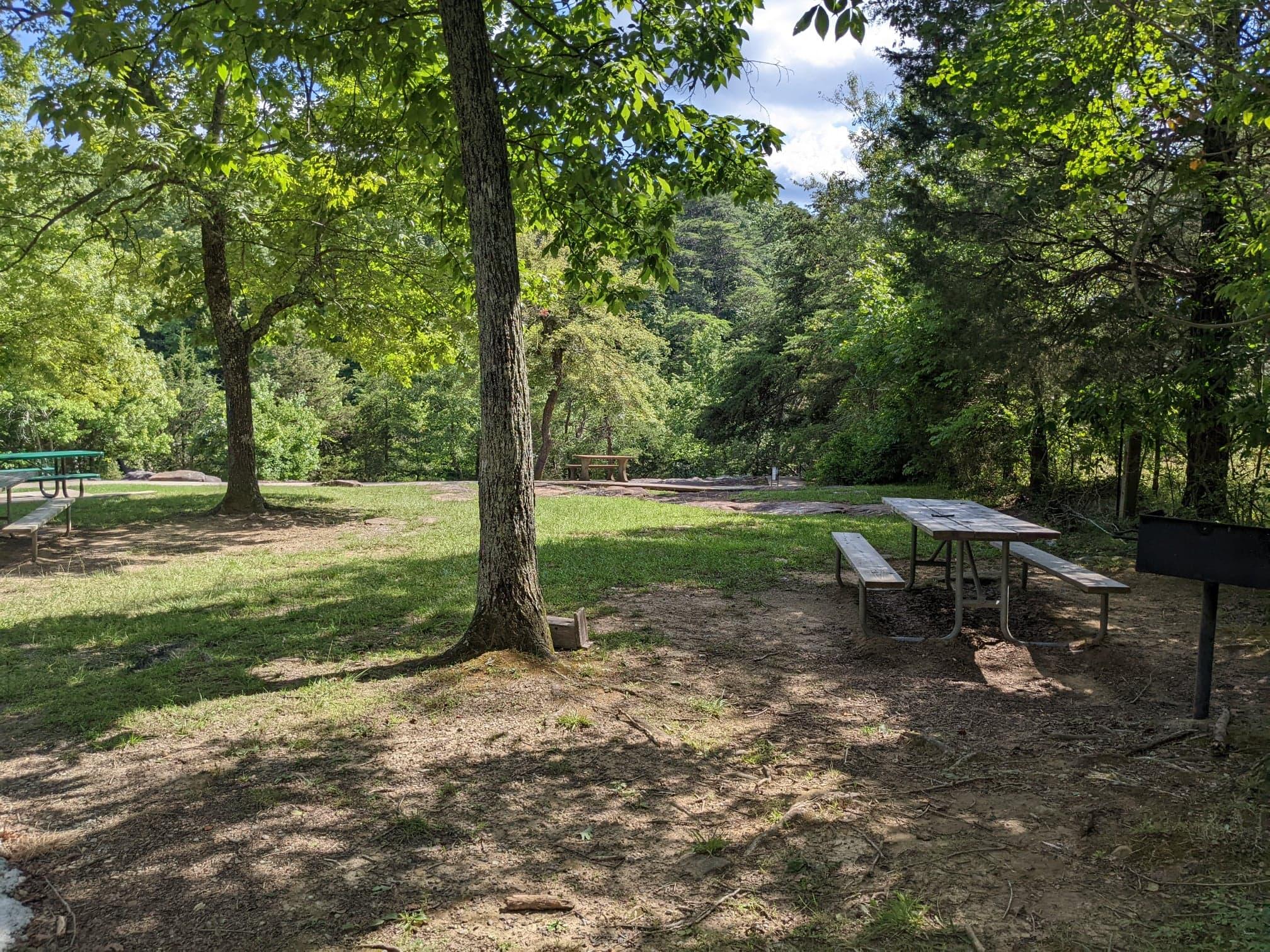
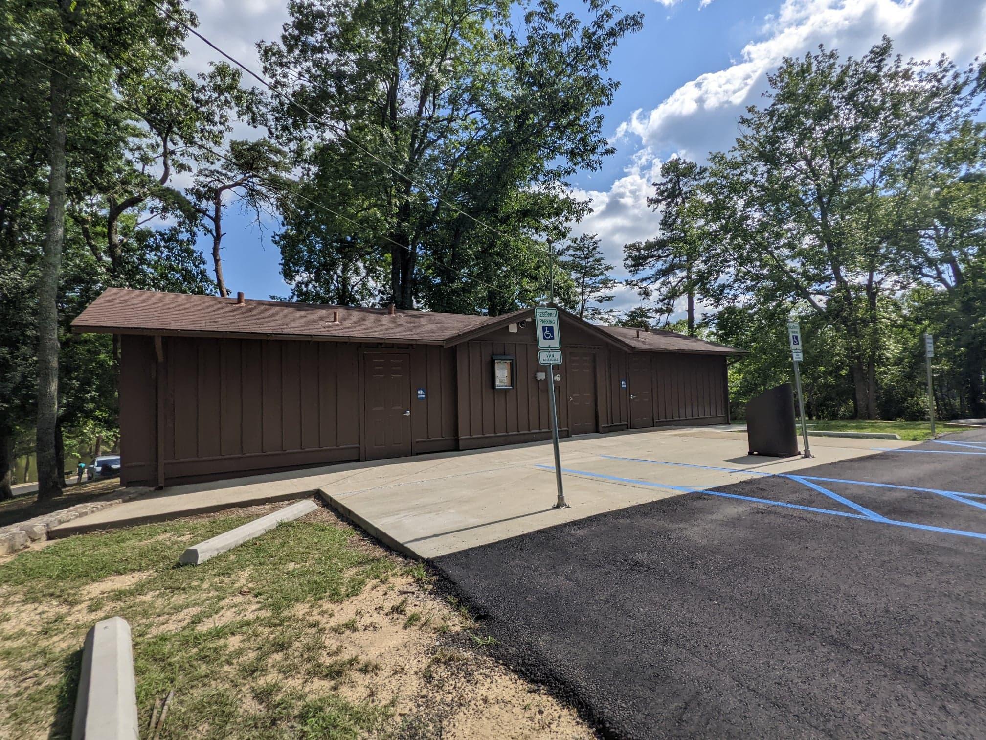
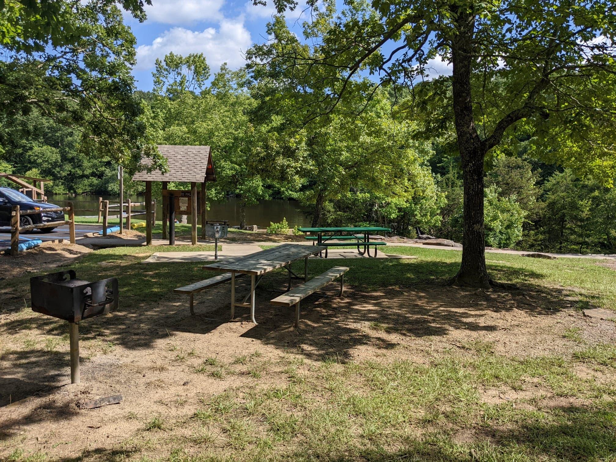
- Visitors can access picnic tables, stand grills, restrooms, and more!
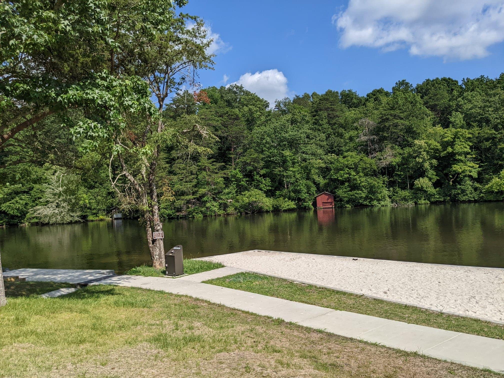
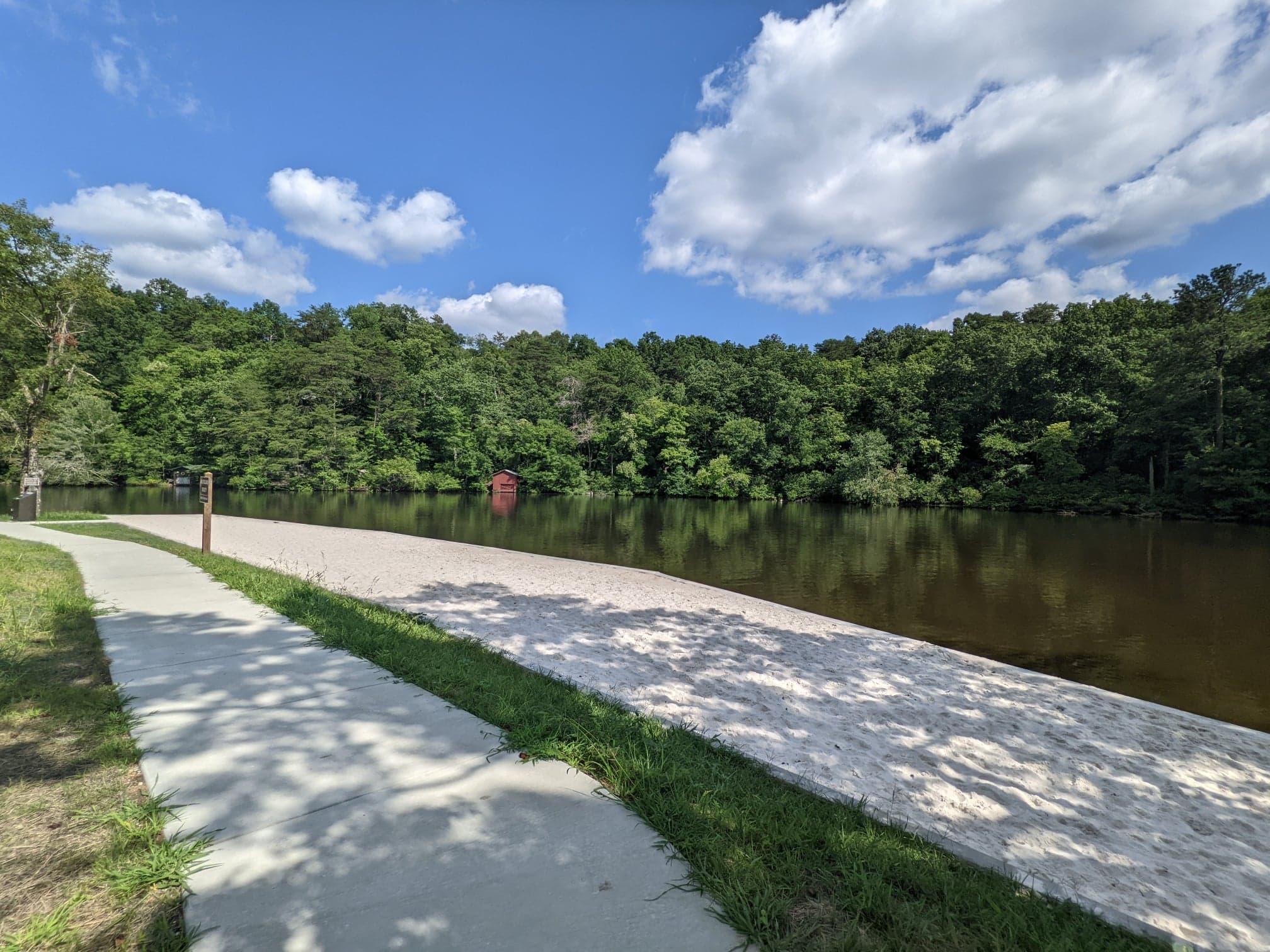
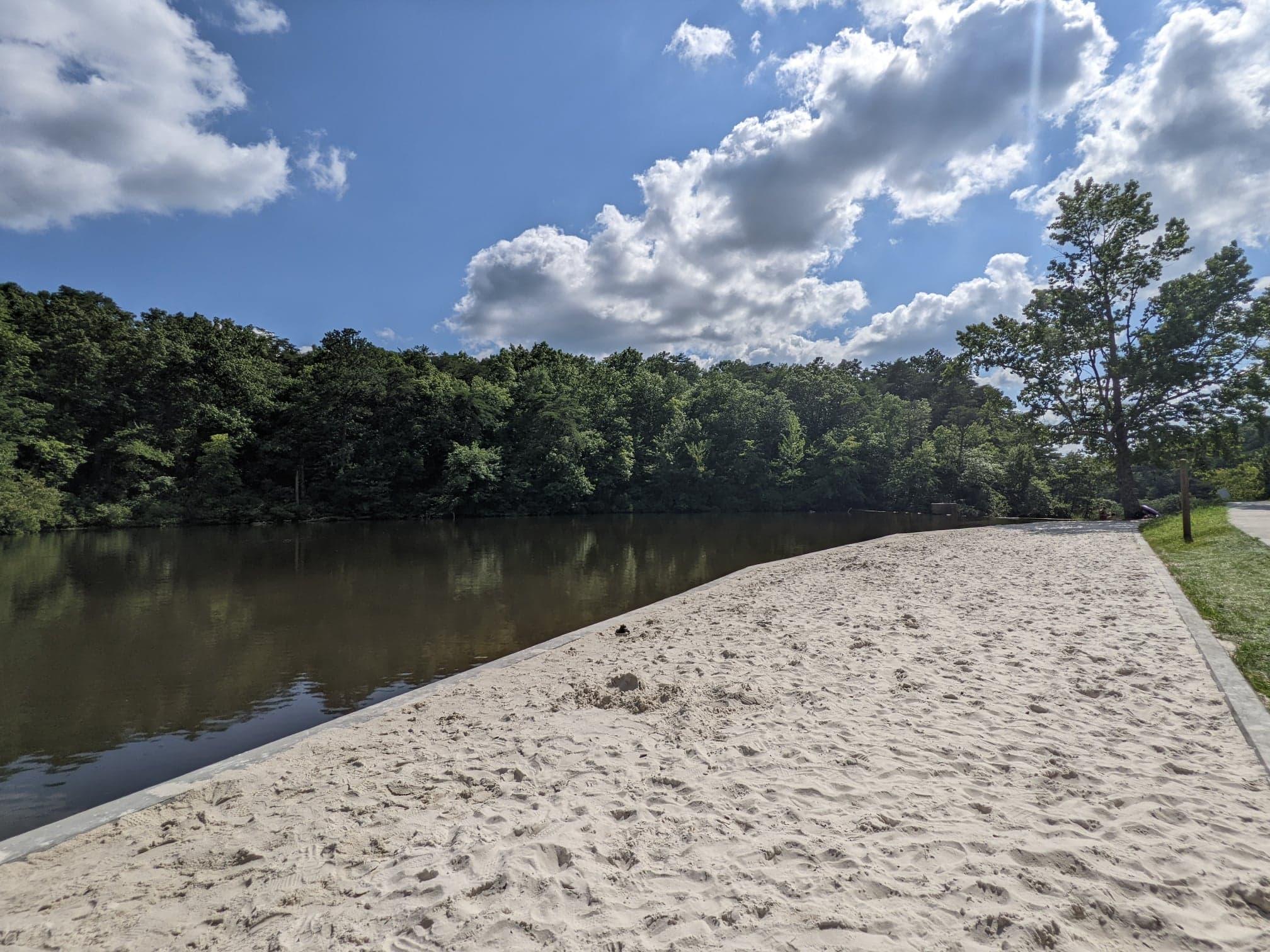
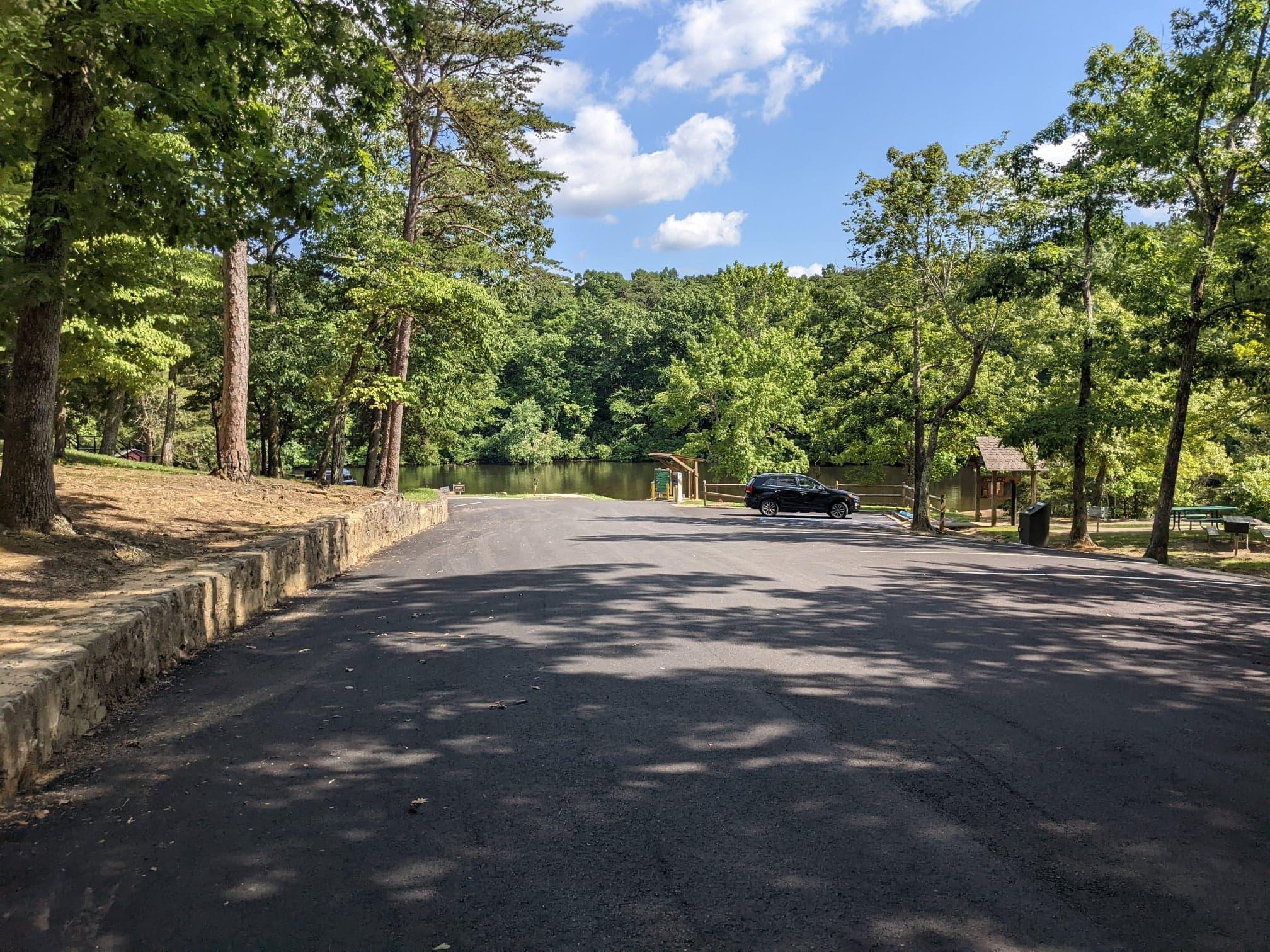
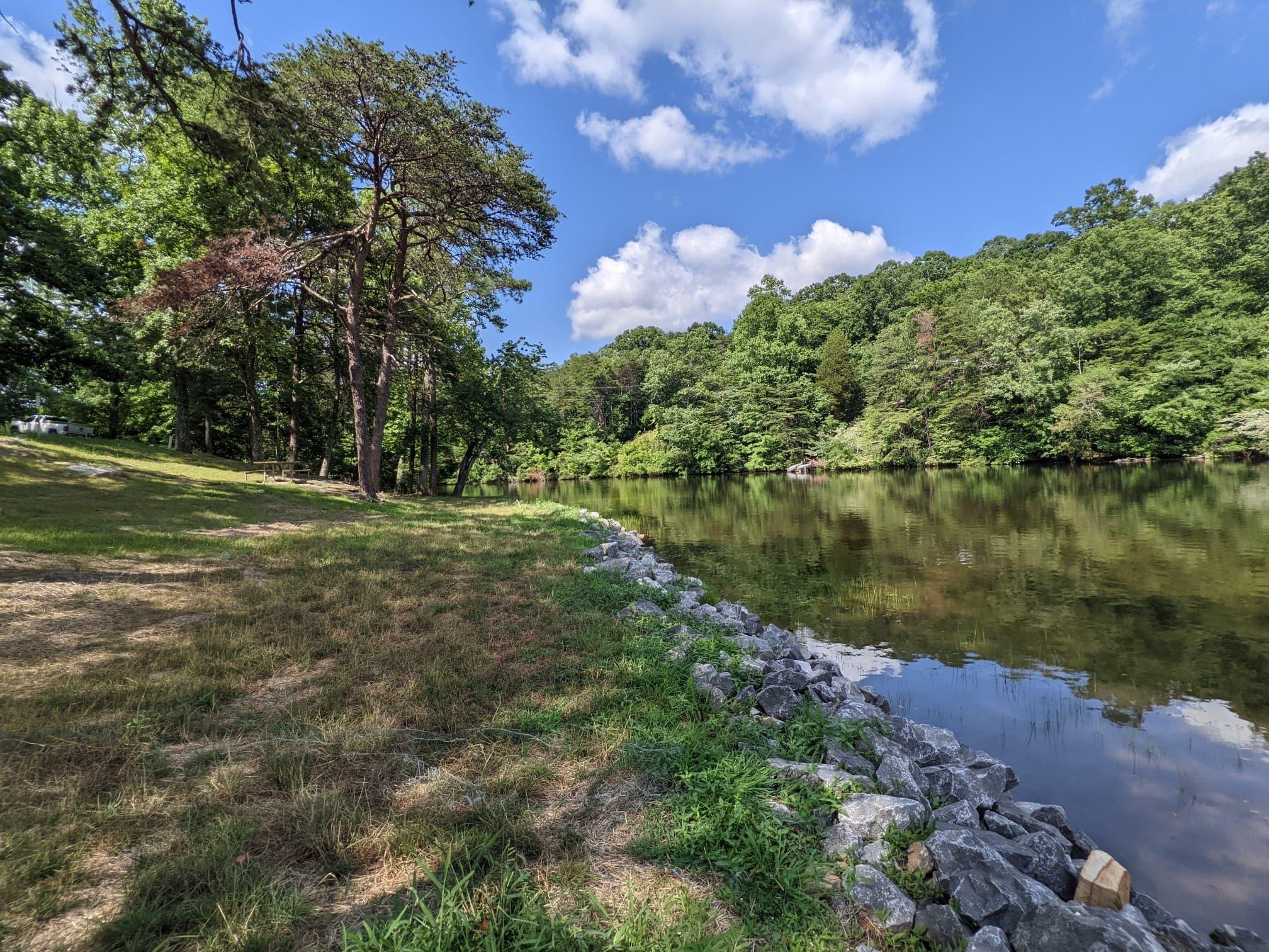
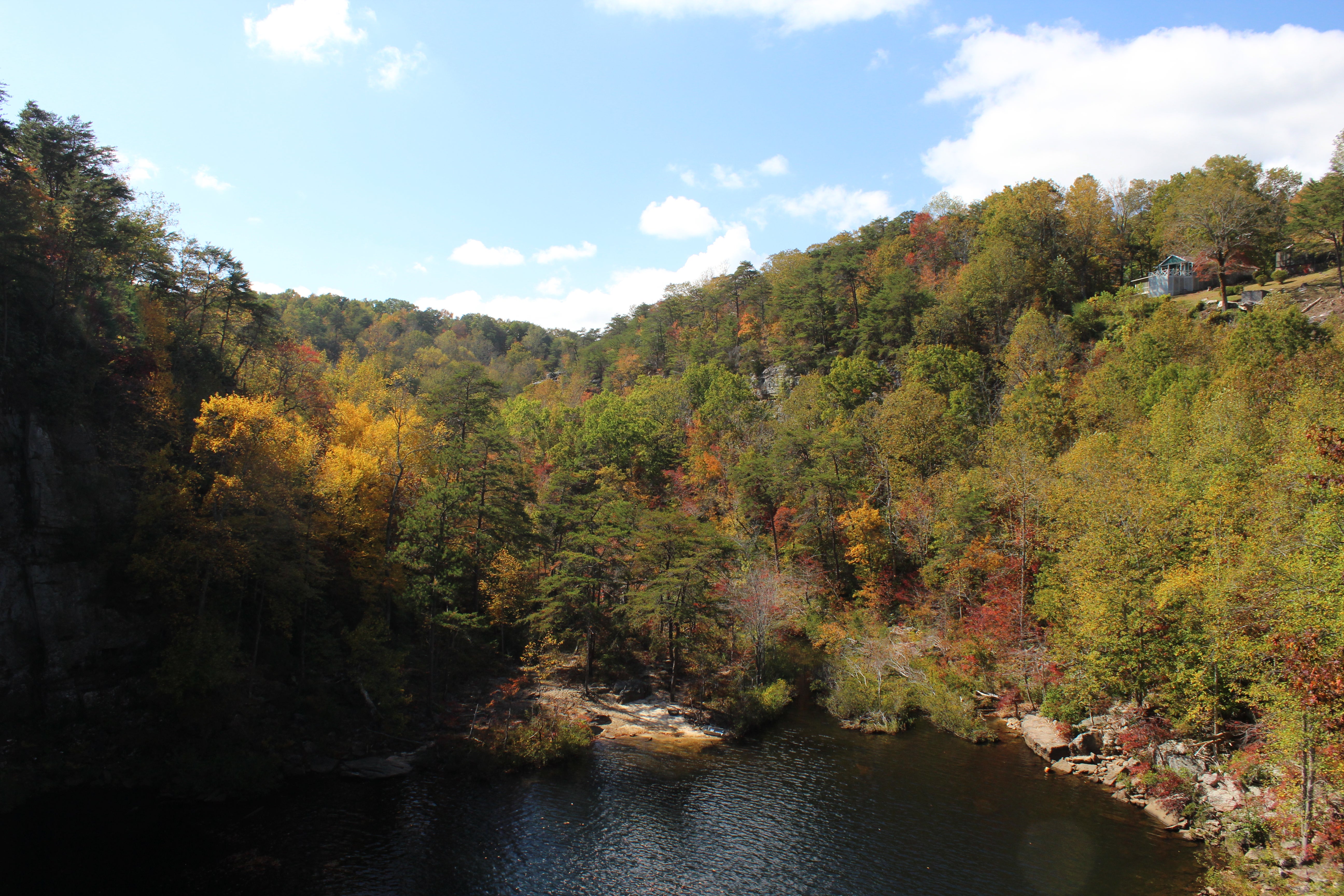
- A small boat ramp and the scenic West Fork of Little River are nearby for boating, swimming, and fishing.
- Small watercraft such as kayaks, canoes, paddleboards, johnboats, etc., can be launched in the picnic area at the boat ramp. For more information, click here.
The only access to DeSoto Falls viewpoints are from DeSoto Falls Picnic Area (side view, easiest), Overlook trail (from trailhead to front view, moderate), & River trail (from trailhead to basin view, moderate to strenuous)
The trails from DeSoto Falls trailhead are considered moderate to strenuous due to rocky mountainous terrain.
Close-toed shoes & extra water recommended. Hike at your own risk.
Easiest way to access side view of DeSoto Falls is from DeSoto Falls Picnic Area, via sidewalk. Approx. 50 steps to the observation platform.
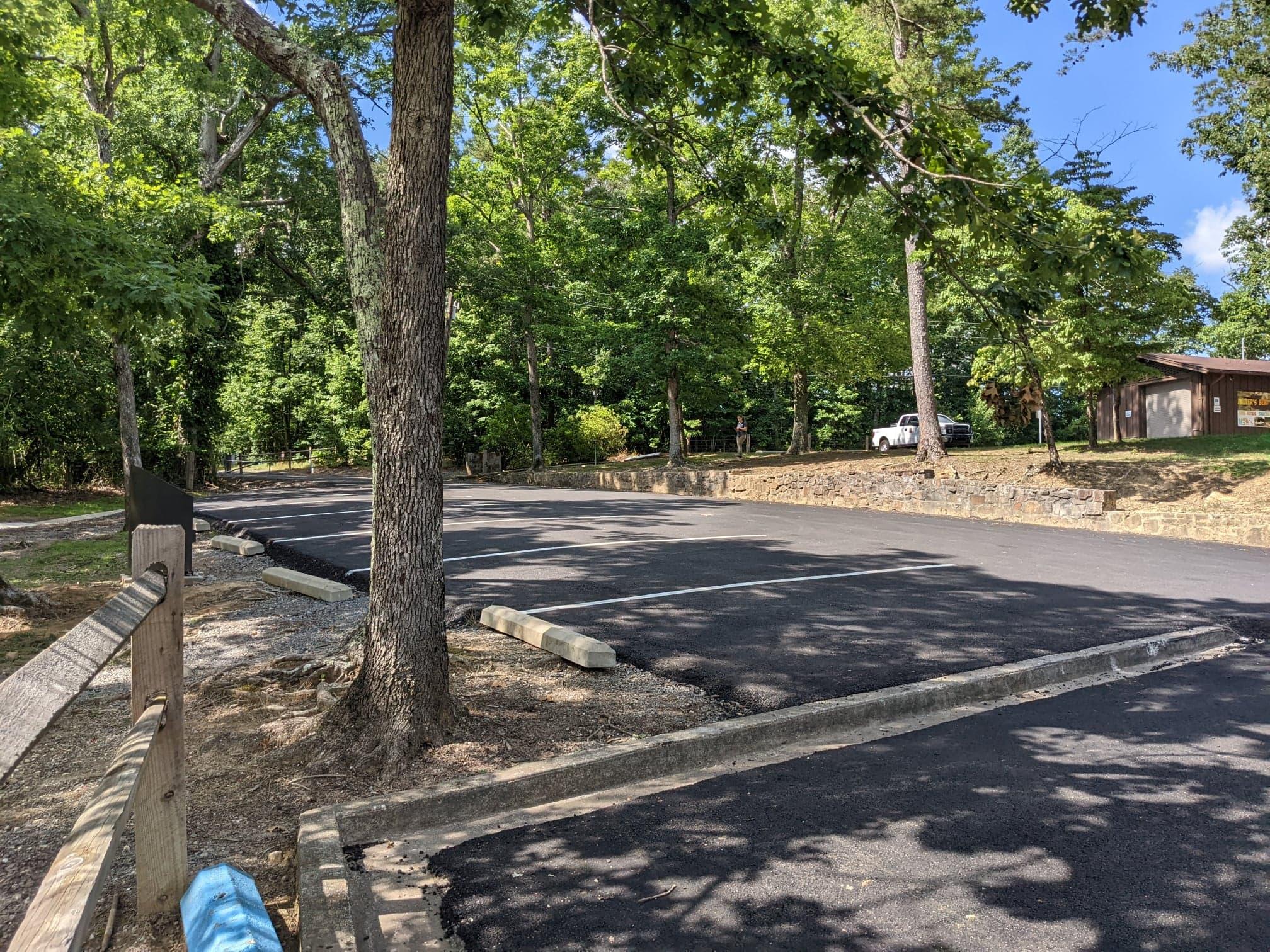
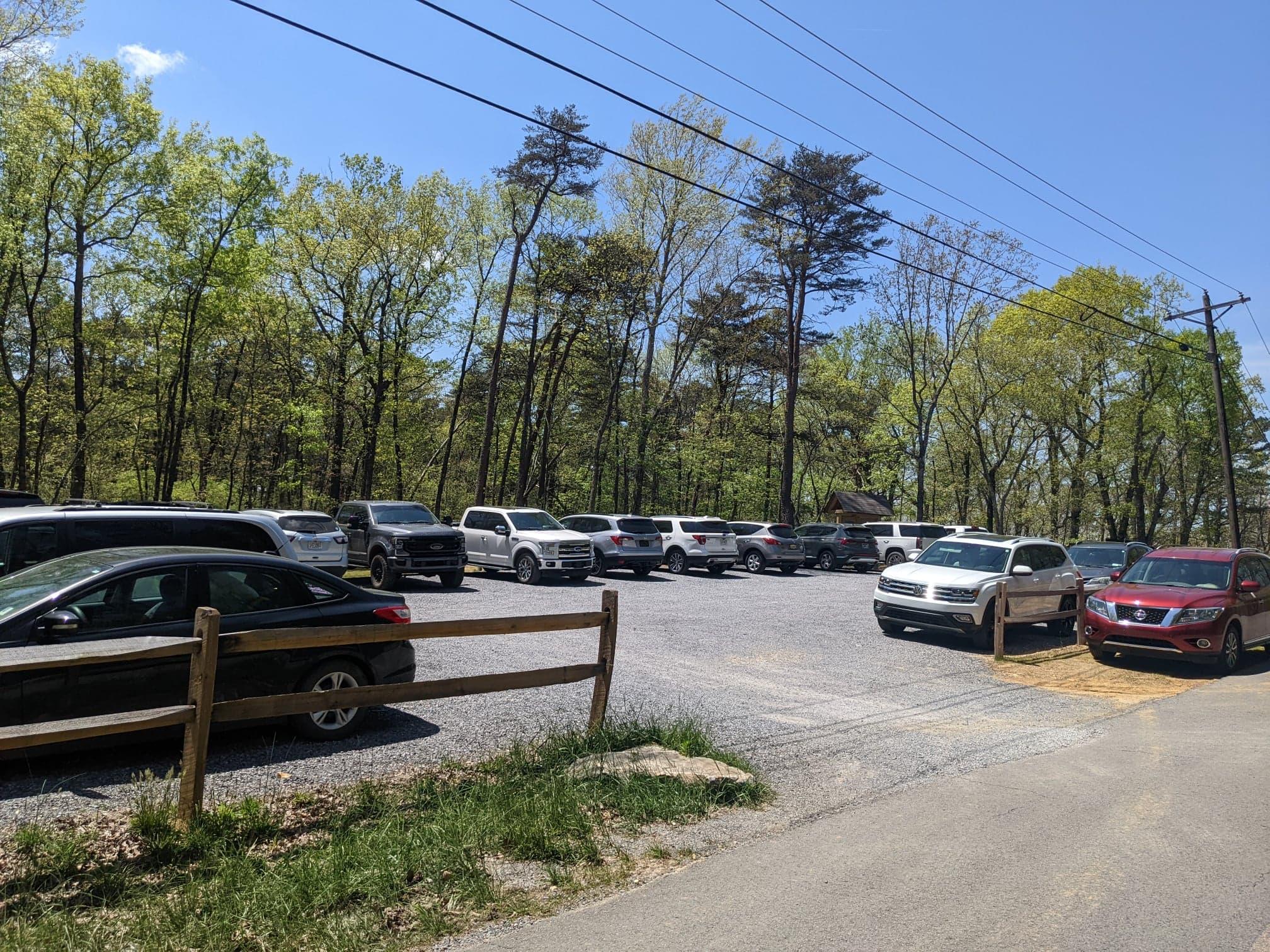
Please note that there are limited parking spaces in the picnic area & the trailhead, which often fills to capacity on weekends.
If you plan to visit the DeSoto Falls Picnic Area or the trailhead on the weekends, during the peak of the day, you will probably find that parking is limited (or non-existent). There is no overflow parking or parking alongside the road. There is no access for larger vehicles such as RVs, trailers, etc. Please be advised that cell service can be spotty, and GPS directions are unreliable. There is a $5.00 per vehicle parking fee.
Written directions to DeSoto State Park and DeSoto Falls Picnic Area (PDF)
DeSoto Falls Picnic Area & Trailhead Map (PDF)
DESOTO FALLS ANNUAL PASS
- Cost: $50.00
- Annual Pass for DeSoto Falls Picnic Area is valid for one year from date of purchase.
- Only valid for the DeSoto Falls Picnic Area within DeSoto State Park
- Applications and Fees can be processed at DeSoto Falls Picnic Area or at DeSoto State Park Lodge.
- Application: Annual Pass to DeSoto Falls Picnic Area (PDF)
