Waterfalls

The best times to see the most water flow are usually in the Spring, late Fall, and Winter. Most of our waterfalls and streams are dry in the summer.
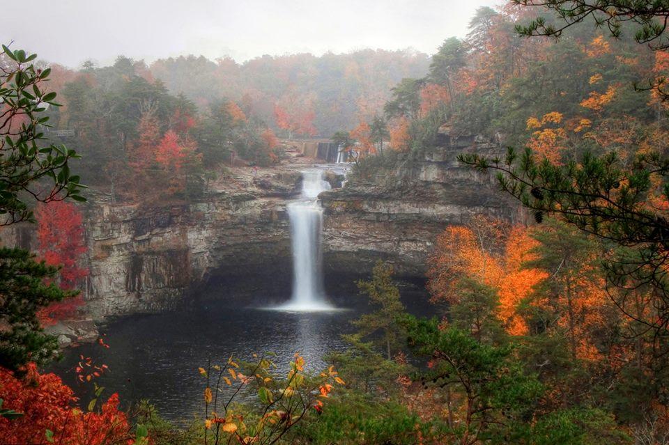
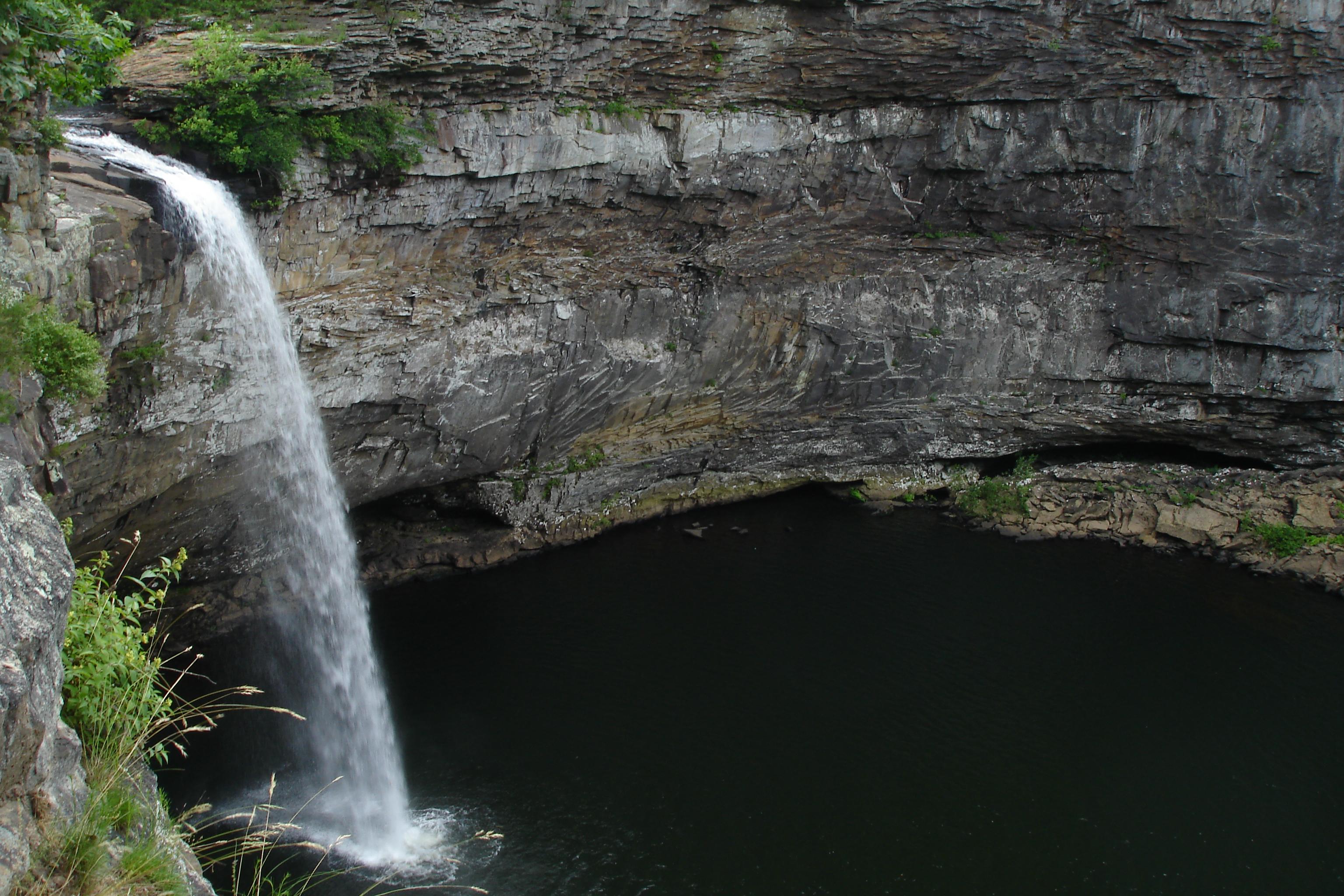
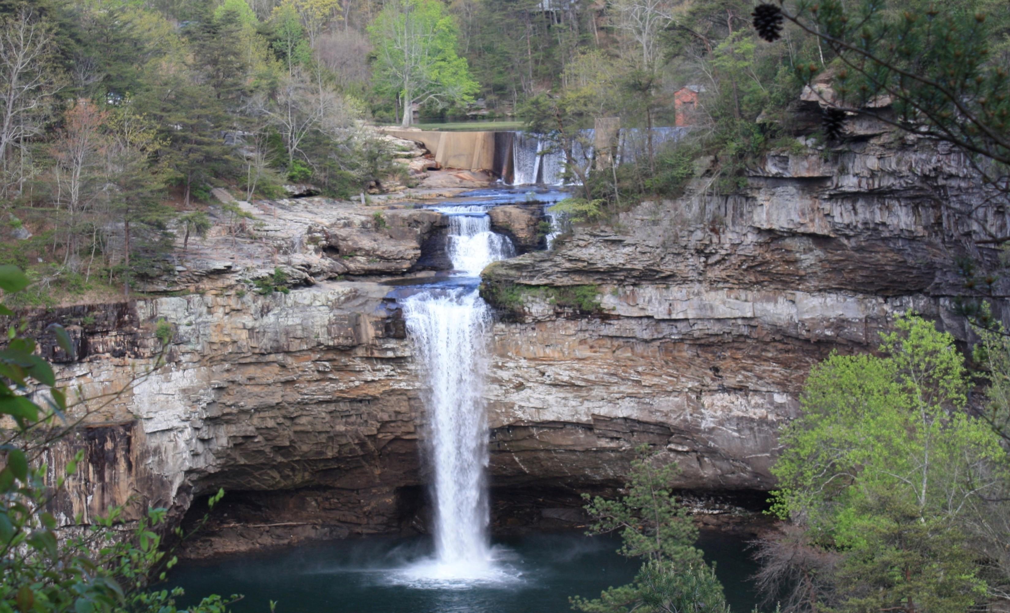
For waterfalls at DeSoto Falls in DeSoto Falls Picnic Area, click here.
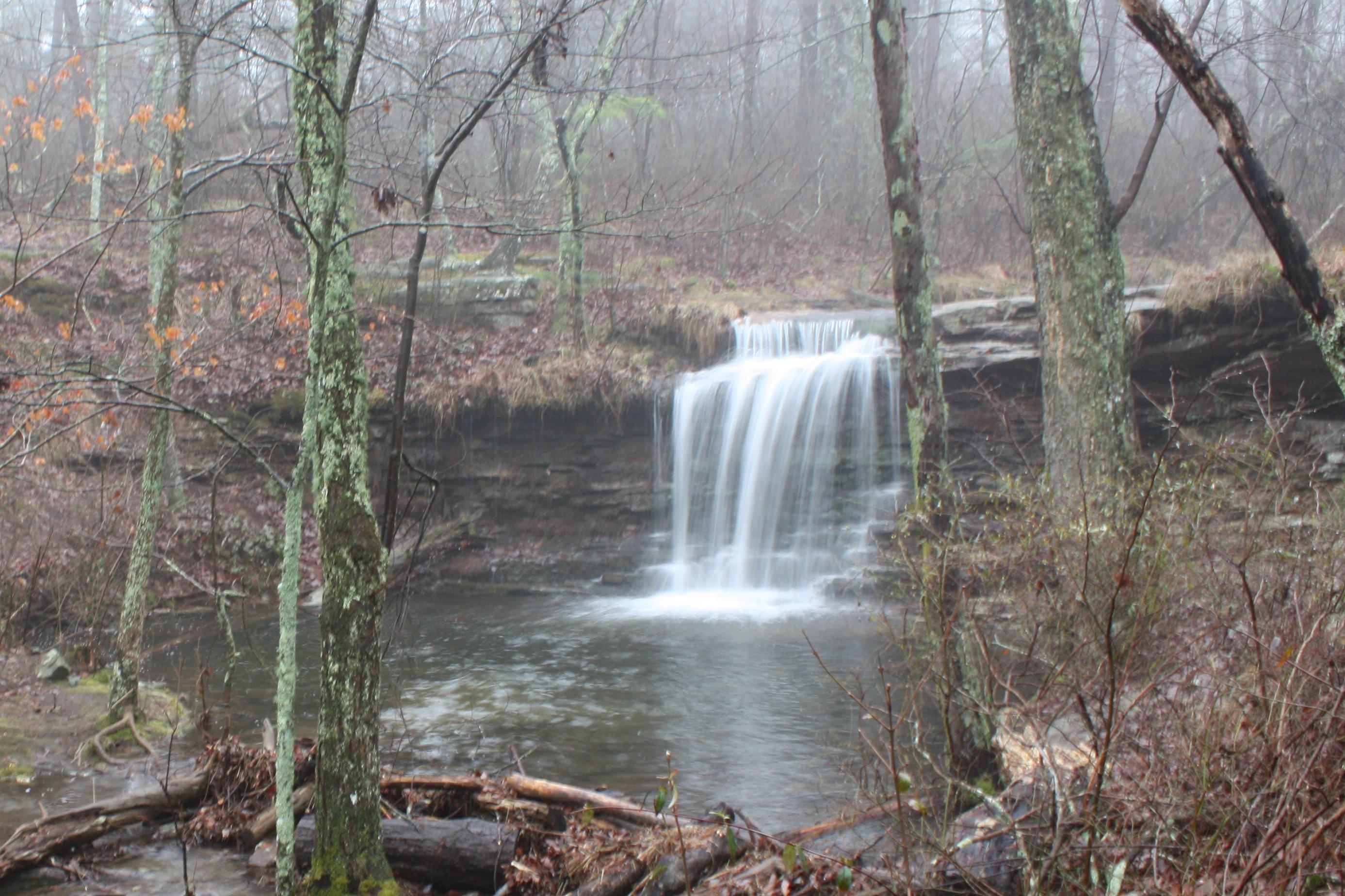
Laurel Falls on Laurel Creek
This small but beautiful waterfall is located off the Orange Trail, about 0.75 miles from DeSoto’s Country Store & Information Center. The trail is rugged and moderate, with some uphill climbs.
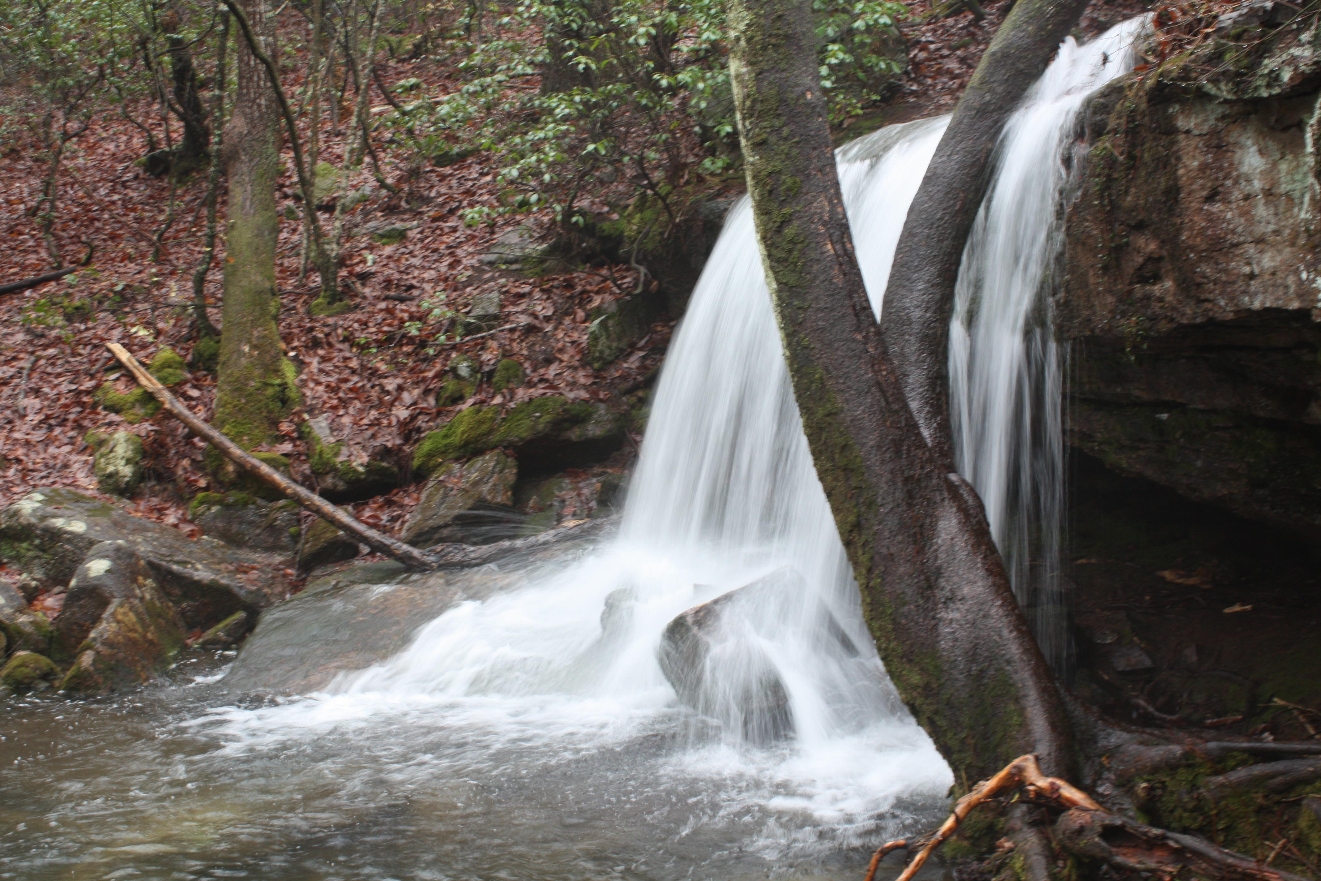
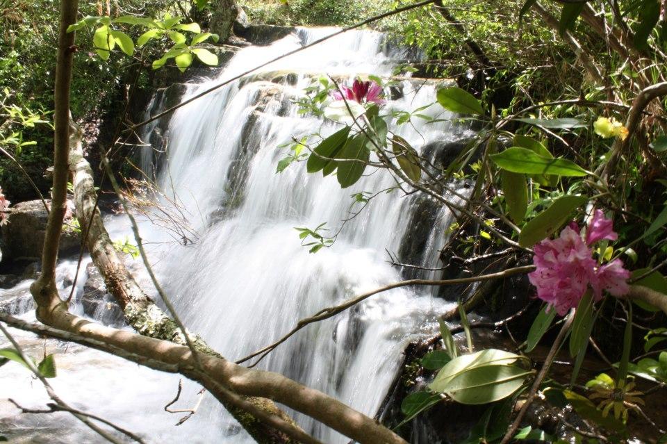
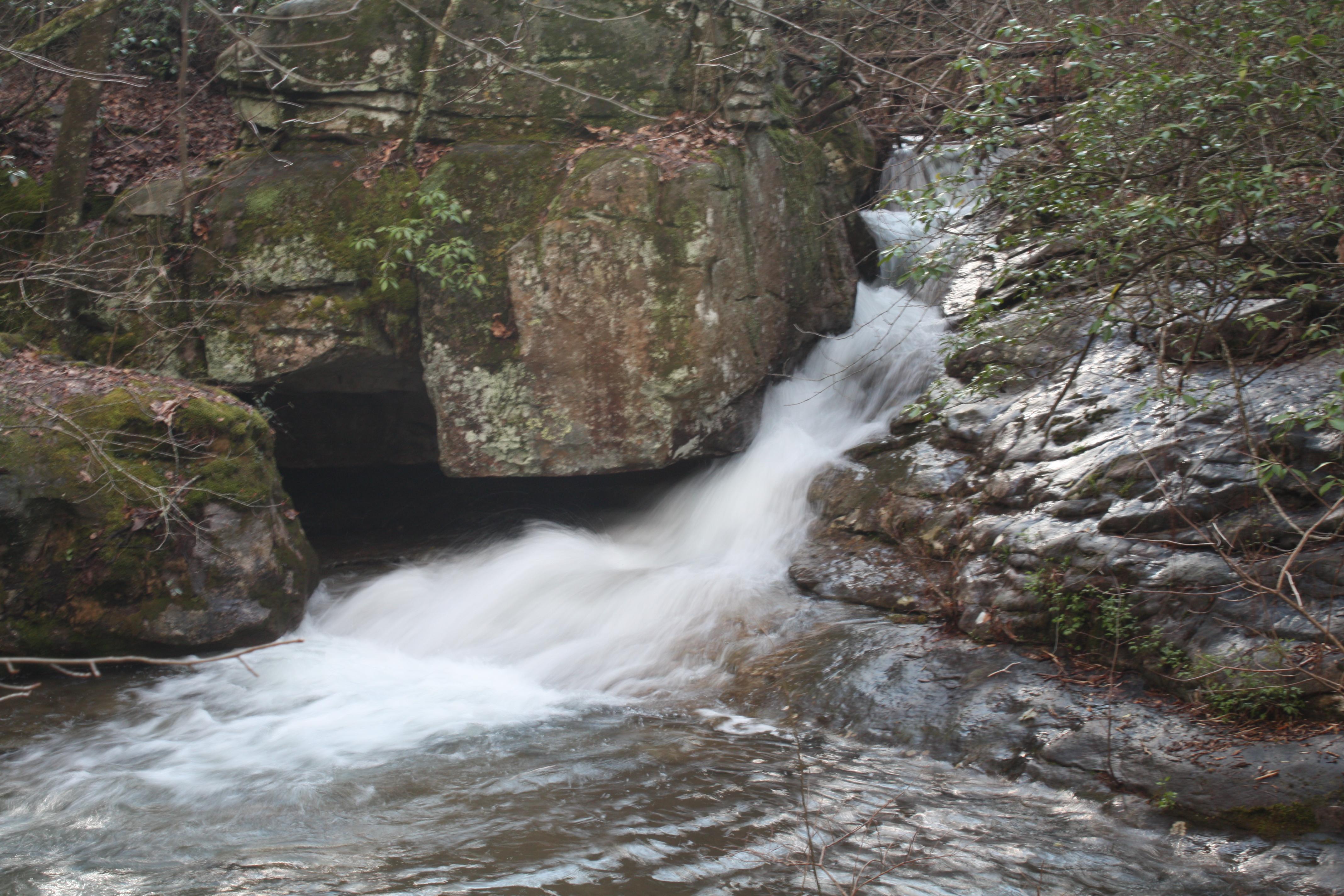
Indian Falls on Laurel Creek
This interesting waterfall falls about 20 feet into a small ravine, just across the road from the Talmadge Butler Trailhead. Indian Falls is about 0.1 miles from the trailhead and is easily reached over a small footpath. A wooden footbridge crosses over the top of this beautiful sight.
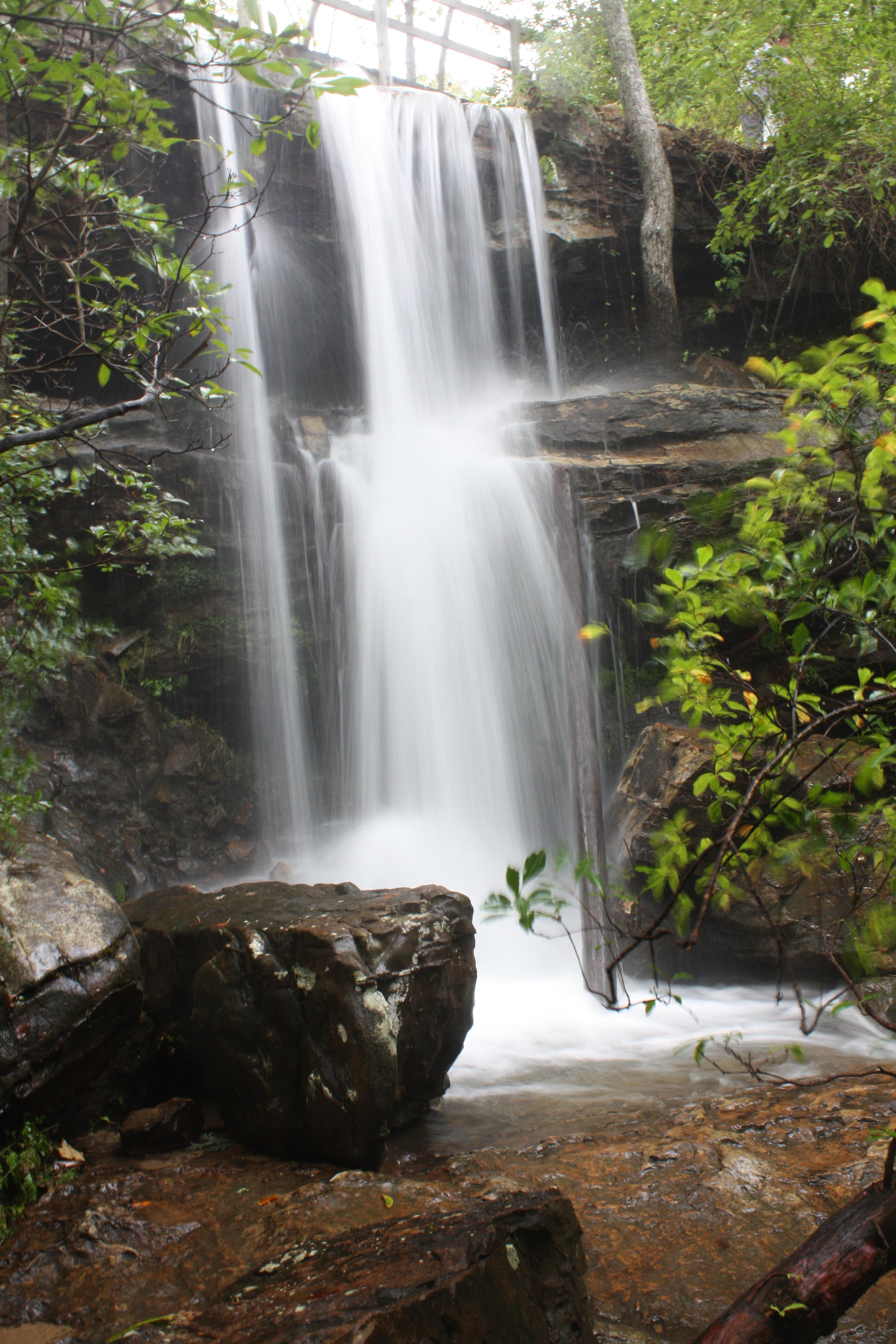
Lodge Falls
This easy-to-find waterfall is located just behind the Lodge. Lodge Falls drops about 25 feet and is very rainfall-dependent. The best viewpoint of this waterfall is reached by hiking down a small ravine, then getting on the Yellow Trail for a short distance and coming back out next to the Lodge.
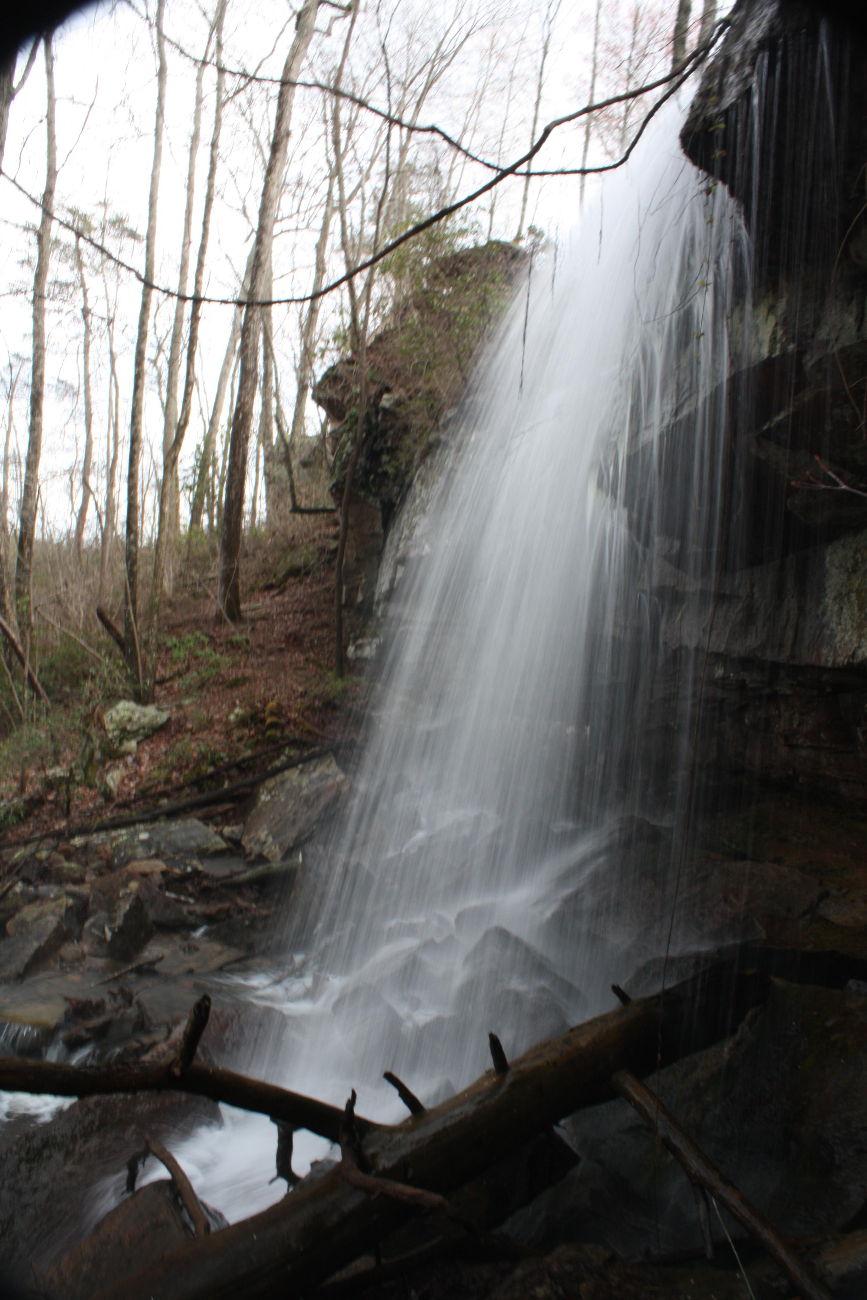
Lost Falls on Laurel Creek
This waterfall is the hardest to find in DeSoto State Park, mainly because it is truly lost when no water is flowing! The best time to see this small 5-foot waterfall is Spring or Winter. Lost Falls is located about 1.5 miles from DeSoto’s Country Store & Information Center, with terrain that can be moderate to mildly strenuous.
Azalea Cascade on Laurel Creek
This small cascade flows into a pool at the end of the Talmadge Butler Boardwalk Trail. It can also be reached by taking the Red Trail behind the Country Store & Information Center.
For North Alabama waterfalls, visit www.northalabama.org.
For DeKalb County waterfalls, visit www.visitlookoutmountain.com.
For Little River Canyon National Preserve (U.S. National Park Service), click here,