Driving Directions to Cheaha
Directions to Cheaha State Park:
Discover the beauty of the highest point in Alabama on an island in the sky! Cheaha Resort State Park, which is located on the southernmost tip of the Appalachian mountain chain, is the oldest park in Alabama (est. 1933) and considered by many to be one of the most unique parks in the nation. Imagine 2,799 acres of granite boulders and wind-warped ancient trees at 2,407 feet above sea level, often above the clouds, and surrounded by 392,567 acres of the Talladega National Forest including 7,245 acres of Cheaha Wilderness.
Cheaha State Park seems to be far removed from civilization; however, this park is only 30 minutes away from several historic downtowns (Oxford, Heflin, Anniston, Talladega, Lineville, Munford, and Ashland) which are packed with shopping, dining, cultural arts, and recreational opportunities. Enjoy breathtaking views, surreal sunsets, tumbling waterfalls, and diverse recreational activities. Cheaha offers quiet surroundings, a cliffside restaurant, a variety of overnight accommodations, the highest pool in Alabama, a dog park, museums, hiking trails, a six acre lake, and a historic timber framed group lodge that can be rented for weddings, family reunions, or business retreats. Named by native Muscogee Creeks, “Chaha" which means “high place,” Cheaha Resort State Park is truly a magnificent mountaintop destination.
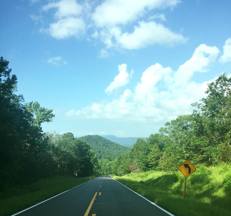
There are two MAIN routes that lead to Cheaha State Park. The park recommends traveling on the Talladega Scenic Drive from NORTH and EAST (Alabama Highway 281 from I-20 exit 191; AL HWY 431 south to AL281 south) which is a well maintained, wide highway, and easily driven by large recreational vehicles. The optional “road less traveled” is Cheaha Road (County Road 42 from the WEST) from Munford, AL (Hwy 21), which winds its way through the Talladega National Forest with curves, roadside brambles, and uneven asphalt. Cheaha Road is a picturesque route through the forest; however, since it is not a refined road, the park does not recommend it for large recreational vehicles AND it currently has a detour on a USFS gravel road 600-3 (road is 14’ wide/some bumps and mud) for 2.0 miles due to road construction. The detour ONLY affects the Lower Improved Campground. If you are coming from SOUTH of the park, you may travel on AL Hwy 9 to AL Hwy 49 to AL 281- also good roads.