Hiking and Biking Trails
Explore the Beautiful and Diverse Gulf State Park Trails!
USA Today recently named the Hugh S. Branyon Backcountry Trail the best recreational trail in the country for the third year in a row! The Hugh S. Branyon Backcountry Trail is an award-winning 28+ mile paved trail system that takes visitors throughout the 6,150 acres of Gulf State Park. The trails are multi-use, meaning they are suitable for hikers and cyclists and are ADA-accessible. Trailheads surround the Park's perimeter, making it easy to find and access while vacationing on our shores. This trail system is just one of the amenities that Gulf State Park provides on your list of things to do while visiting the Park.
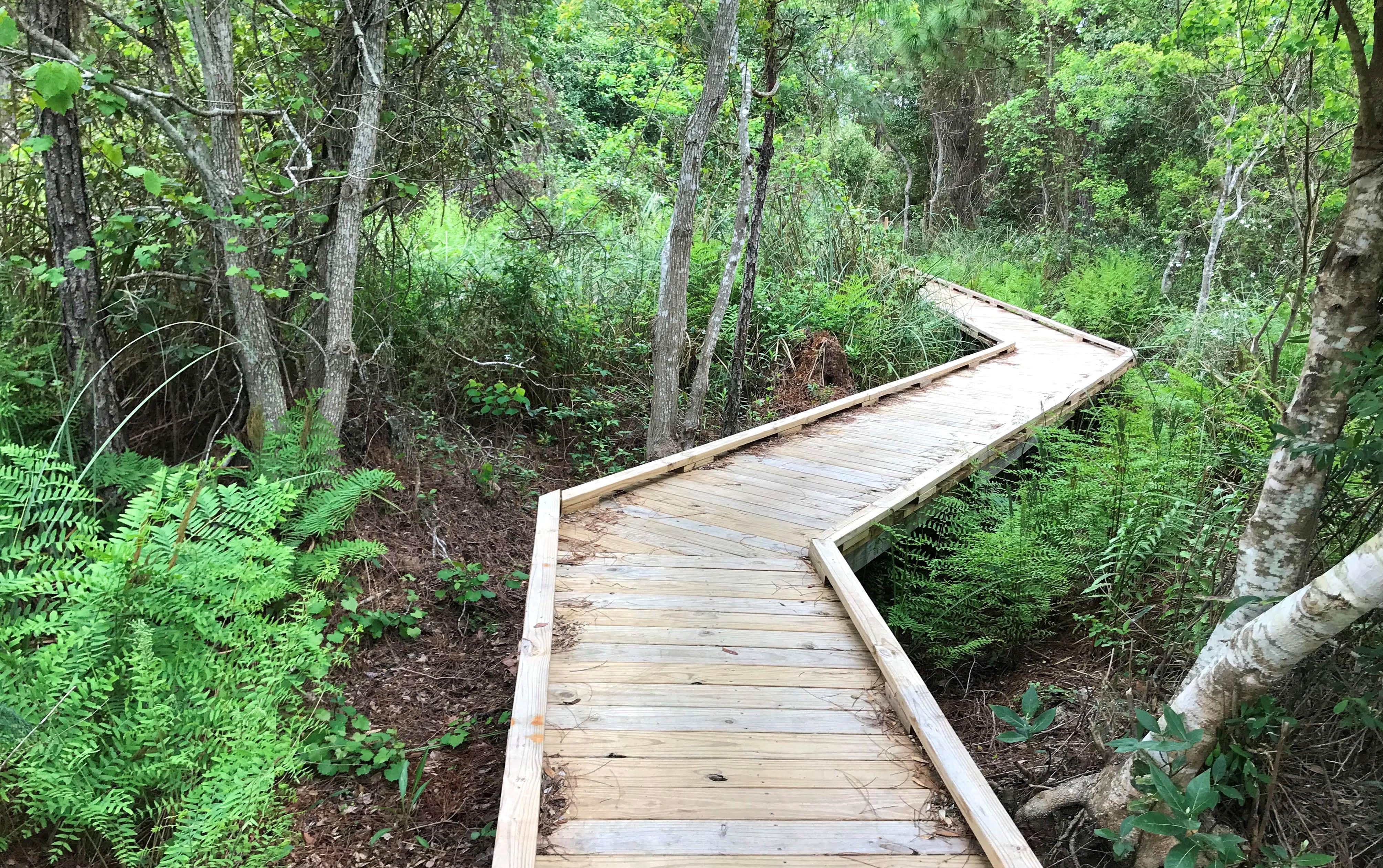
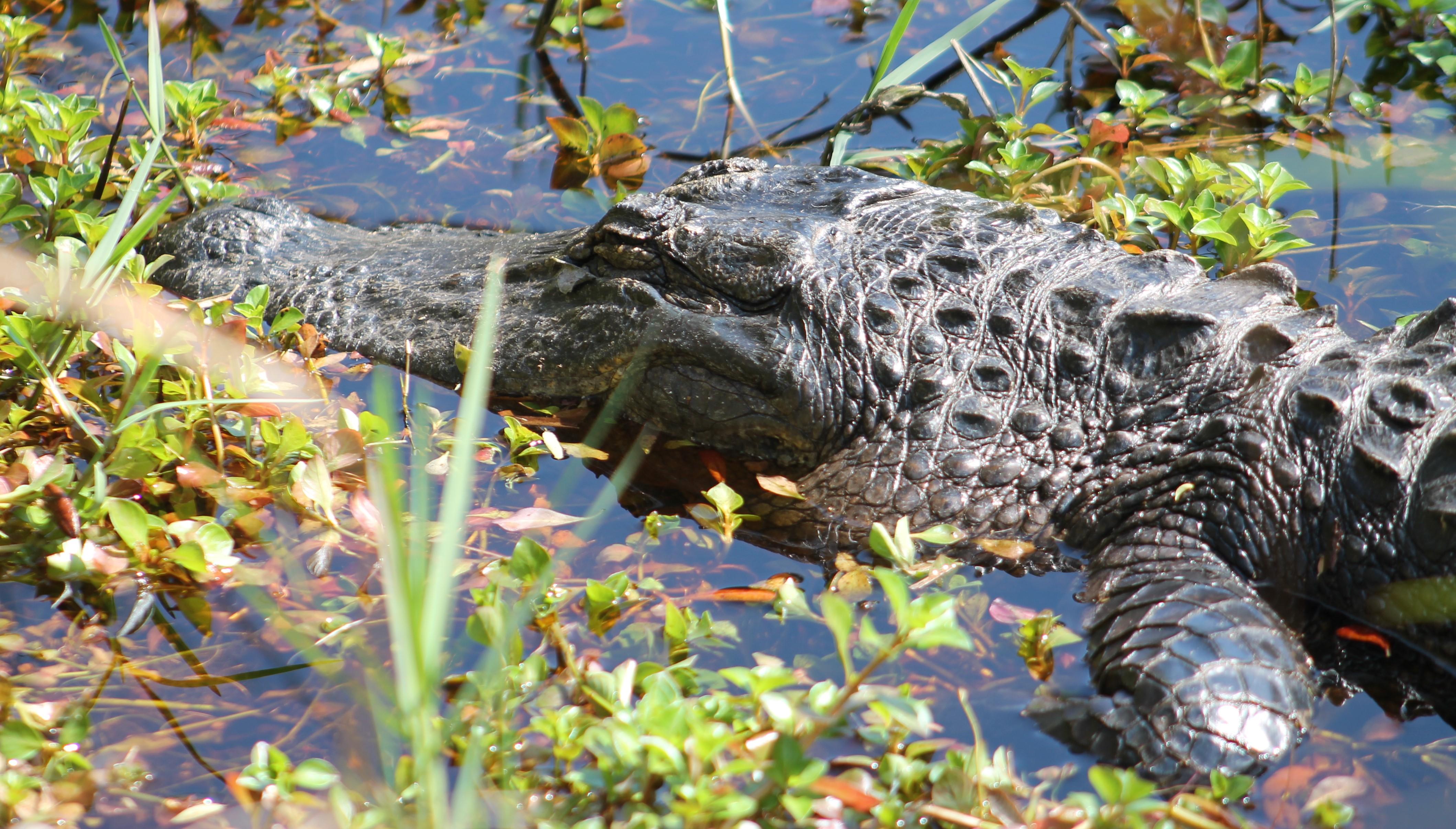
The Park features 29 miles of paved trails or boardwalks that inspire visitors to explore the nine distinct ecosystems within the park boundaries. These trails are also included in the Hugh S. Branyon Backcountry Trail system, connecting Range Beach and Gulf Shores, Alabama. Enjoy the serenity of the Gulf Oak Ridge trail, as you stroll underneath Live Oak trees draped in Spanish Moss. Take a bike ride on Rosemary Dunes and be on the lookout for the elusive Bobcat. If you're hoping to see an alligator, explore the Gopher Tortoise trail along the edge of Lake Shelby! Most of our trails are suitable for walking, running, and biking. You will surely enjoy the stunning natural scenery only found on the Alabama Gulf Coast!
Trail Hours
Dawn to dusk
7 days a week
No unauthorized motorized vehicles or golf carts allowed on the trails.
Check out the Park Map for all of the trail and feature locations. To view this map, click on the image below:
Trail Distances
Alligator Marsh - 0.4 mi (Unpaved)
Armadillo Trail - 0.7 mi (Unpaved)
Beach Mouse Bypass - 1.1 mi (Boardwalk)
Bear Creek Trail - 0.4 mi (Paved)
Bobcat Branch - 0.7 mi (Unpaved)
Campground Connector - 0.1 mi (Unpaved)
Campground Trail - 2.2 mi (Paved/Boardwalk)
Canal Trail - 1.0 mi (Paved)
Catman Trail - 2.7 mi (Paved)
Cotton Bayou - 1.1 mi (Paved)
Coyote Crossing - 2.1 mi (Paved)
Cross Park Trail - 0.8 mi (Paved/Boardwalk)
Eagle Connector - 0.2 mi (Paved)
Eagle Loop - 0.3 mi (Unpaved)
East Cabin Connector - 0.2 mi (Paved)
Gopher Tortoise Trail - 1.5 mi (Paved)
Gulf Oak Ridge - 3.0 mi (Paved)
Lake Crossing - 0.6 mi (Boardwalk)
Lake Shelby Overlook - 0.3 mi (Boardwalk)
Lakeview Trail - 2.2 mi (Paved)
Middle Lake Overlook - 0.1 mi (Boardwalk)
Rattlesnake Ridge - 1.6 mi (Paved)
Rosemary Dunes - 2.1 mi (Paved)
Sawgrass Trail - 0.5 mi (Paved)
Twin Bridges - 0.8 mi (Paved)
West Cabin Connector - 0.2 mi (Paved)
Woodside Connector - 0.1 mi (Paved)
Keep your distance from any wildlife you encounter, such as alligators and snakes, for both your safety and the safety of these animals. For detailed information, please see our Wildlife Safety Recommendations.
SAFETY INFORMATION
We are partnering with our local emergency responders, Baldwin County 9-1-1, to provide faster service to you while out on the trails during an emergency. To help the First Responders find your location during an emergency, download this app and relay the "what3words" location to dispatch during a 9-1-1 call and they will send help directly to you.
Download what3words app to help us find you faster!

{"preview_thumbnail":"/web/alapark/sites/default/files/styles/video_embed_wysiwyg_preview/public/video_thumbnails/1kxCI9NamSs.jpg?itok=GXEv6orA","video_url":"https://youtu.be/1kxCI9NamSs","settings":{"responsive":true,"width":"854","height":"480","autoplay":false},"settings_summary":["Embedded Video (Responsive)."]}
Become a Dirt Pass Trail Crew member! Visit the program page to learn more about how you can help younger generations enjoy the parks for years to come!
