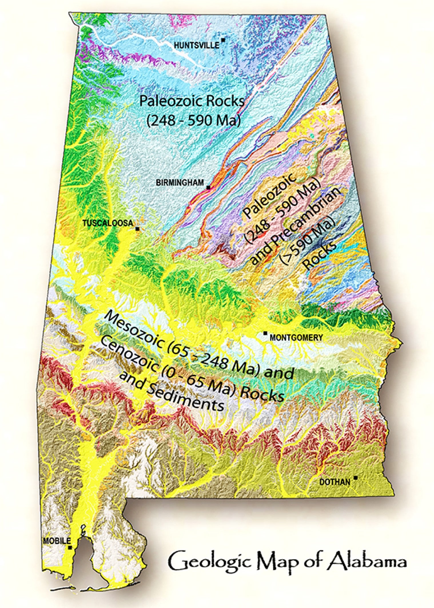
Reading Earth's History in the Landscape
Event Dates:
February 6, 2023, 1:00 pm
February 6, 2023, 2:00 pm
Interpreting Topographic Maps (Practice Using Topo Maps)
Make your own “virtual reality world” by just using a map. See the Earth’s deep valleys, jagged mountains and rugged 3-D terrain by learning how to read topographic maps. Discover the ways that geologists use topo maps to tell the story of how our land came to look the way it does. Join us at the Nature Center, as we practice using these special maps to explore our physical world. This program will be hosted by guest speaker, Gus Piening.
1:00 PM - 2:00 PM
February 6th
To view the precise location of this program, you can use this what3words link: ///naptime.deep.midst